Bludov
- Quarry
- Particle morphology
- Chemical and phase composition
- Sand leachate and leachate analysis
- Physical properties
- Notes and Literature
Registry number of area: 5234900Alternative name of quarry: Region: OlomouckýCadastral area: BludovType of rock: sand 
Contact
Obecní lesy Bludov s.r.o.8. května 906Bludov 789 61 Tel: 583 238 758 E-mail: lesybludov@seznam.cz WWW: www.lesy.bludov.czCoordinates
N: 49°57'11" E: 16°55'33"Map
Photos
Description
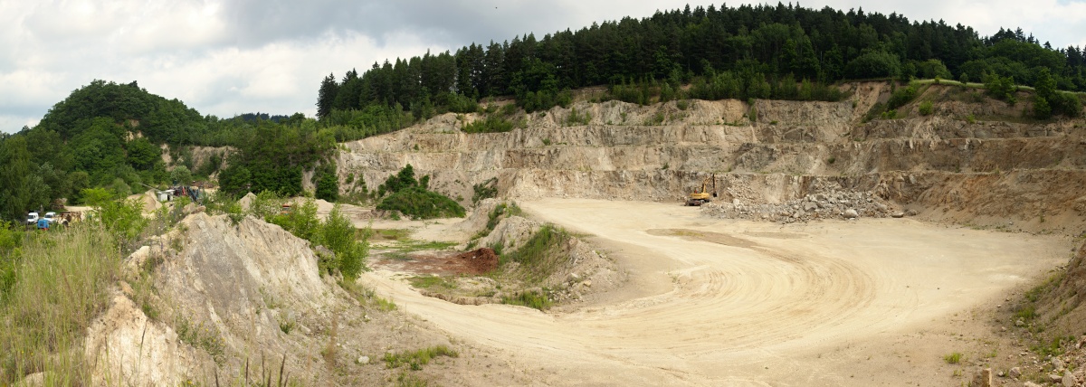
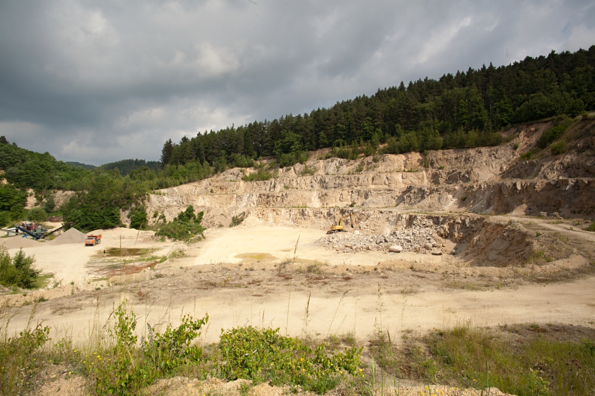
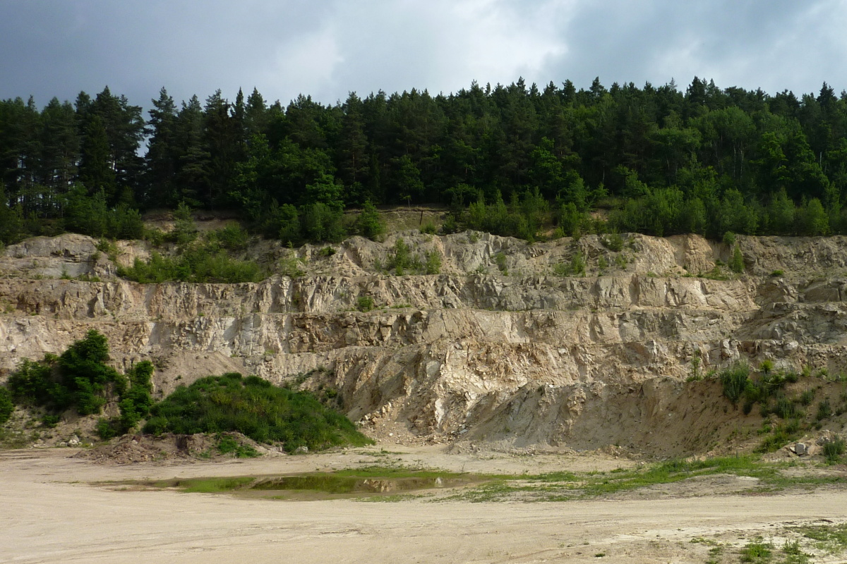
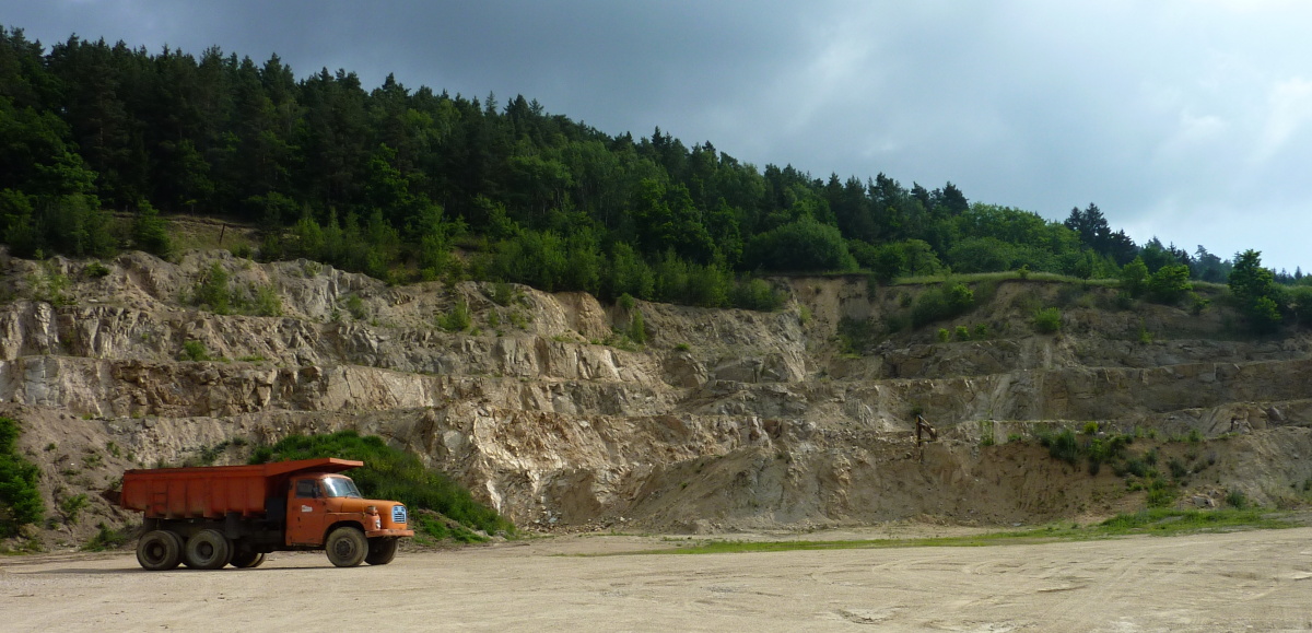
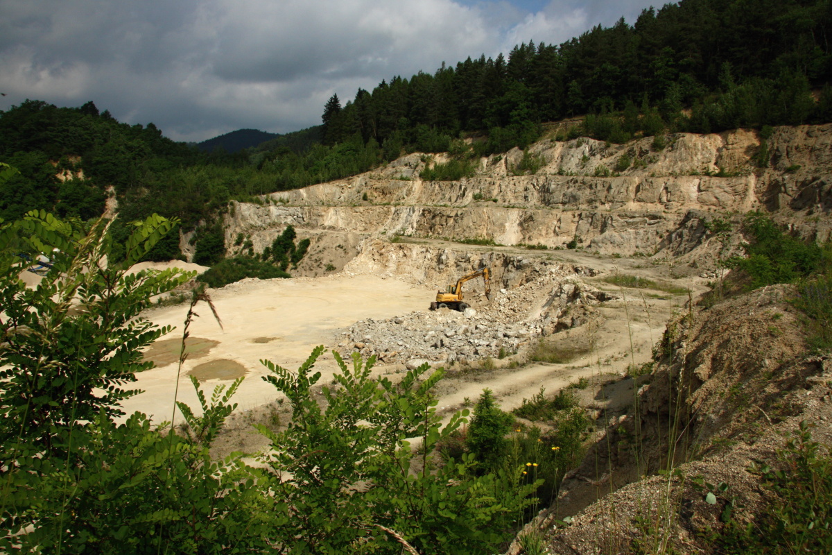
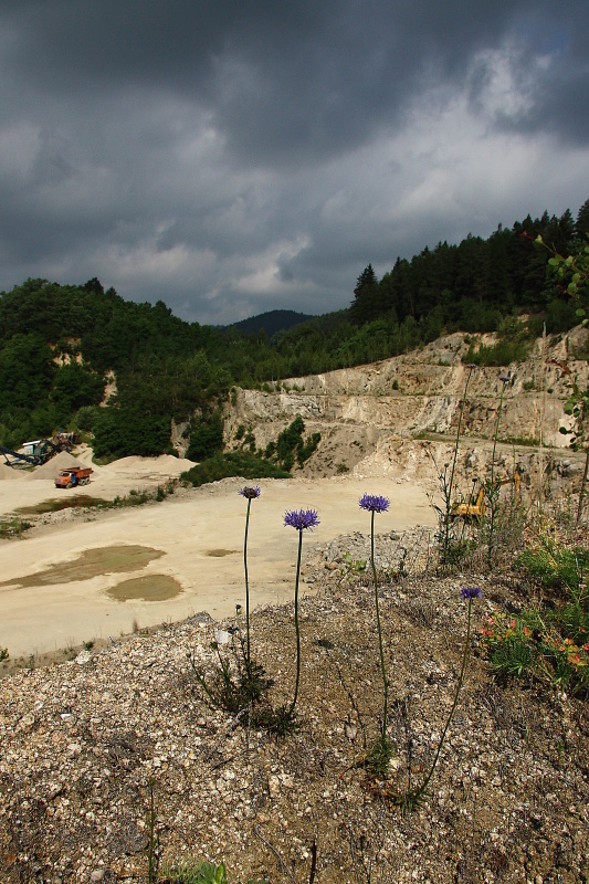
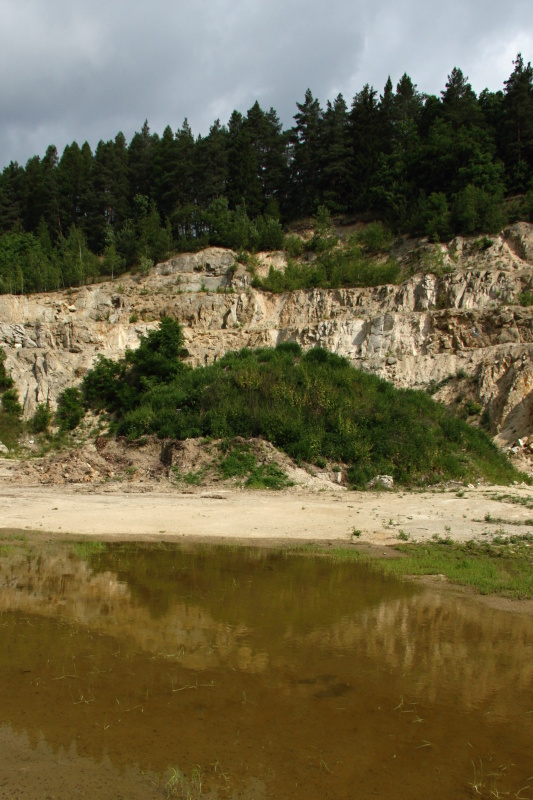
The quarry is located on the southwestern slope of Chocholík hill on the northern border of the village of Bludov. It is located approximately 200 m east from the local road turning north from road No. 11 leading through the village centre. The five-storey quarry produces weathered granodiorite, which is currently ground to fractions of 0-4, 0-8, 8-16, 16-32 mm with an annual production of approximately 10,000 tonnes.