Podhorní Újezd
- Quarry
- Stone appearance
- Petrographic examination
- Physical properties
- Frost resistance
- Particle size distribution by image analysis
- Chemical and phase composition
- Notes and literature
Registry number of area: 7/0085Alternative name of quarry: OstroměřRegion: KrálovéhradeckýCadastral area: Podhorní Újezd Type of stone: sandstone Stone name: Hořice sandstone Alternative name of stone: - 
Contact
Kámen Ostroměř, s.r.o.Nádražní ul. 414Ostroměř 507 52 Tel: 493 654 340, 493 654 361 E-mail: odbyt@piskovce.cz WWW: www.piskovce.czCoordinates
N: 50°23'16" E: 15°31'59"Map
Photos
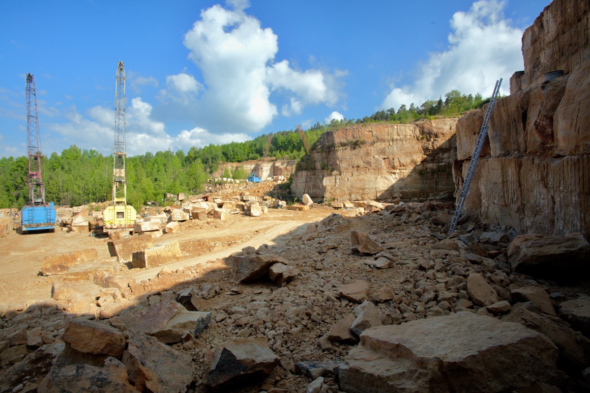
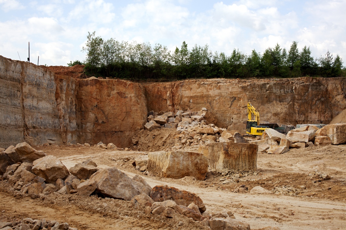
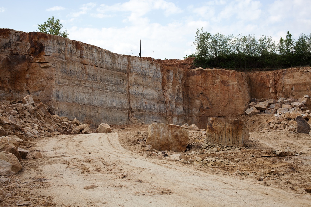
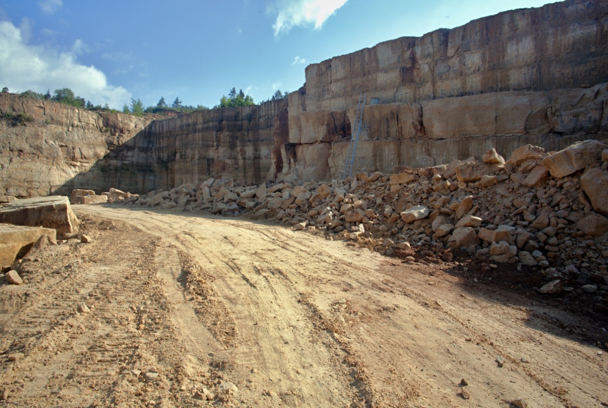
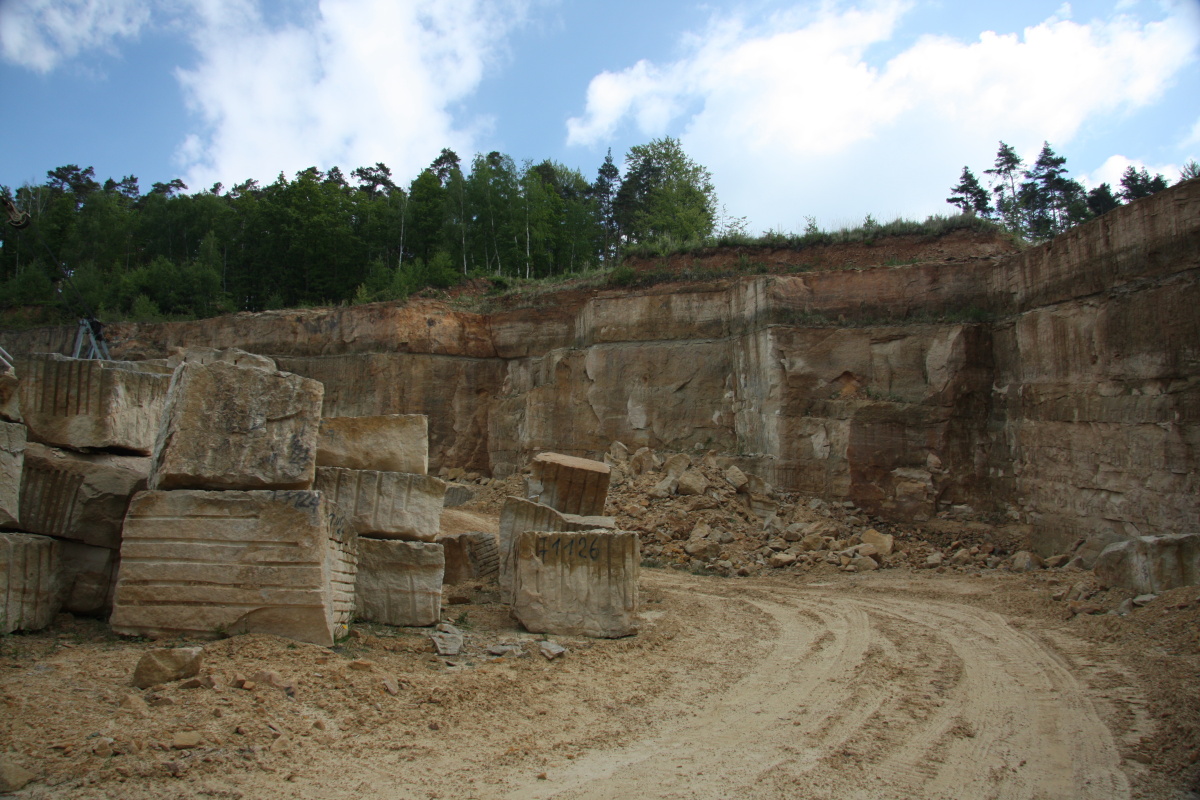
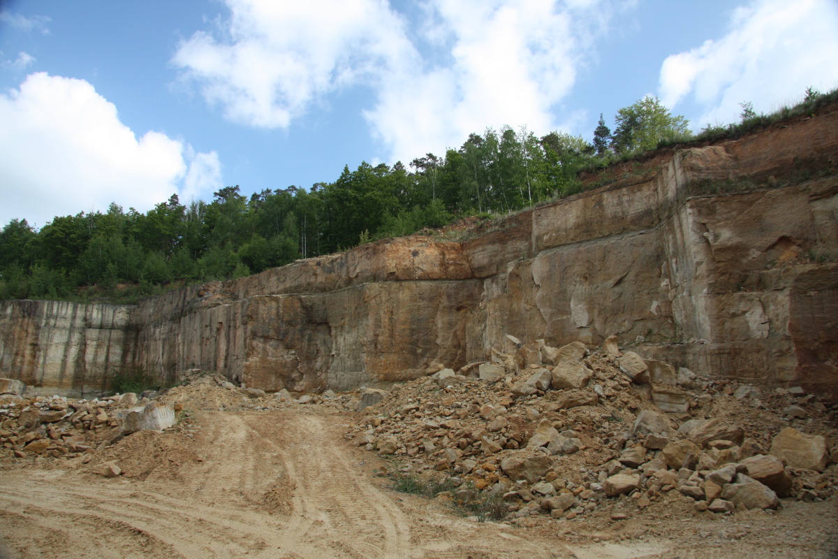
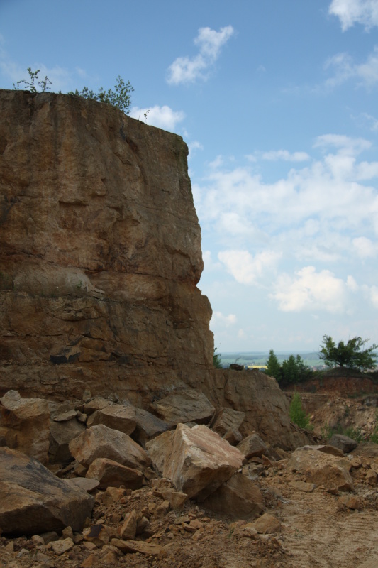
Description
The quarry is located on the partially forested southern slope of Hořice ridge, about 300 metres northeast from the village of Podhorní Újezd. The mining area was created by joining three former quarries and is therefore relatively extensive. The sandstone forms banks with a thickness of tens of centimetres up to several meters. Sandstone is broken loose from the banks and transported to a nearby plant in Ostroměř, where it is further processed for noble stonework products (cutting, polishing, daubing, etc.).