Kocbeře
- Quarry
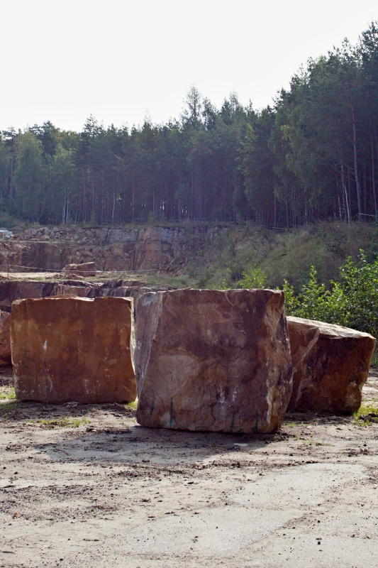
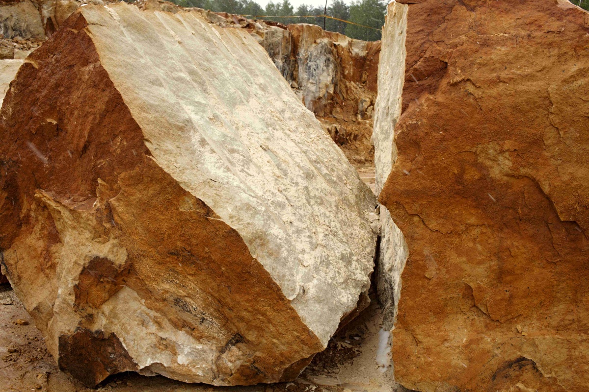
- Stone appearance
- Petrographic examination
- Physical properties
- Frost resistance
- Particle size distribution by image analysis
- Chemical and phase composition
- Notes and literature
Registry number of area: 5224900Alternative name of quarry: Kocbeře - Choustníkovo HradištěRegion: KrálovéhradeckýCadastral area: Kocbeře Type of stone: sandstone Stone name: Kocbeř sandstone Alternative name of stone: - 
Contact
KOKAM, spol. s r.o.Kocbeře 194Kocbeře 544 64 Tel: 499 623 541, 499 624 248, 602 542 236, 602 448 506 E-mail: kokam.kokam@tiscali.cz WWW: www.kokam.czCoordinates
N: 50°26'46" E: 15°51'36"Map
Photos
Description
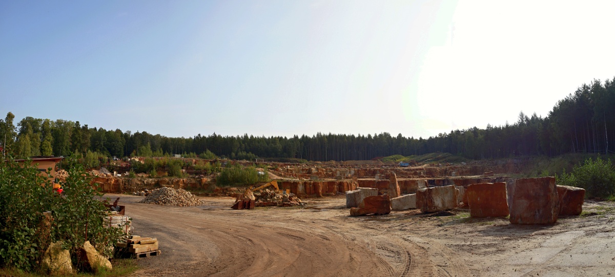
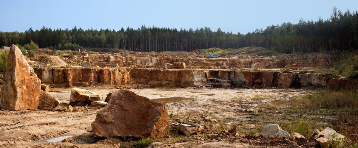
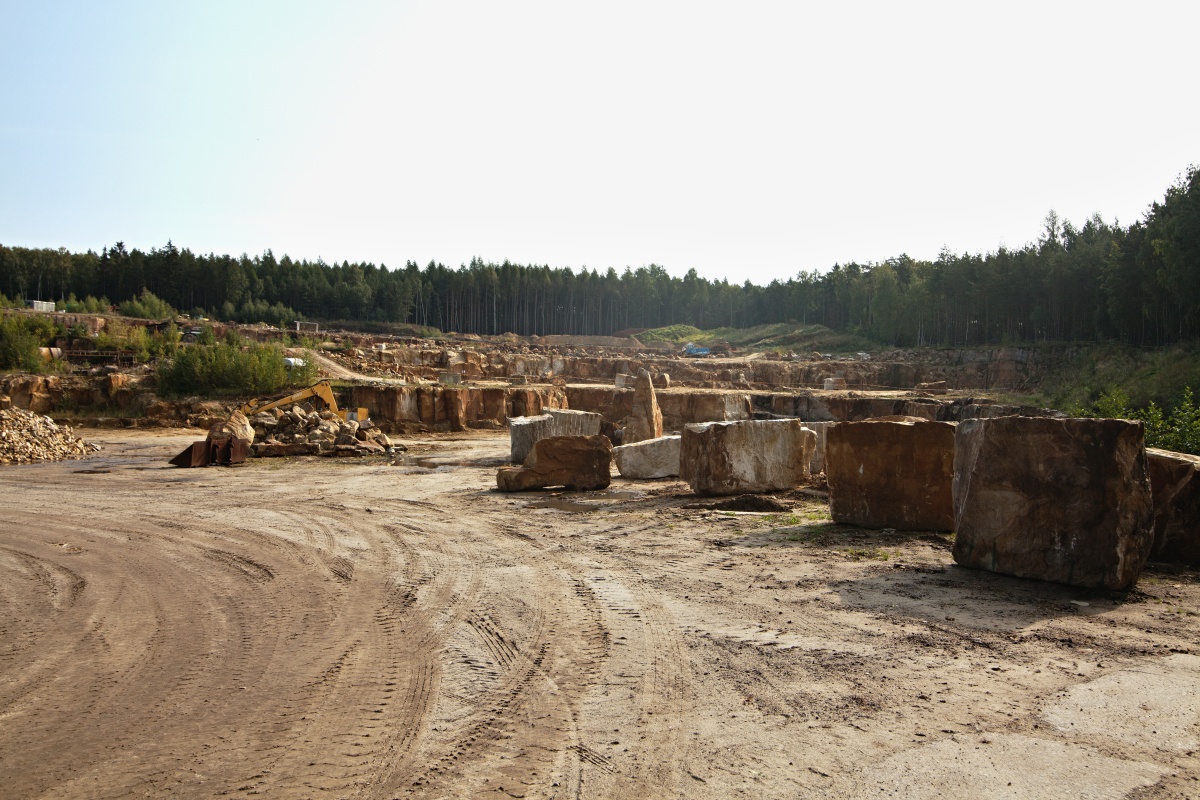
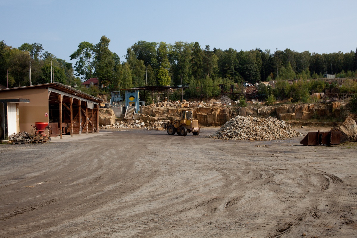
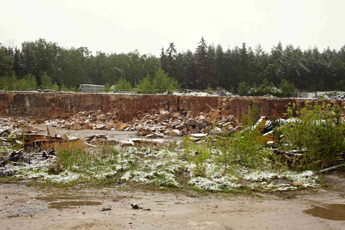
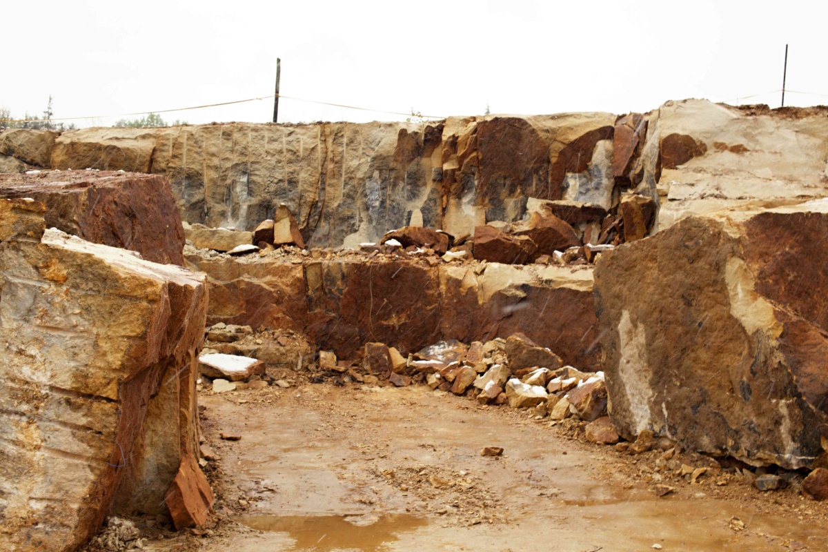
A relatively large and accessible stone quarry, which is located east from road No. 37 between Jaroměř and Trutnov, right next to the road, at the forest edge approximately 500 metres south from the village of Kocbeř. The mineable layer thickness is approximately 12 metres. The mining is carried out on a relatively large area on three floors. The quarry is equipped with equipment for gross and fine stonework production.