Havlovice
- Quarry
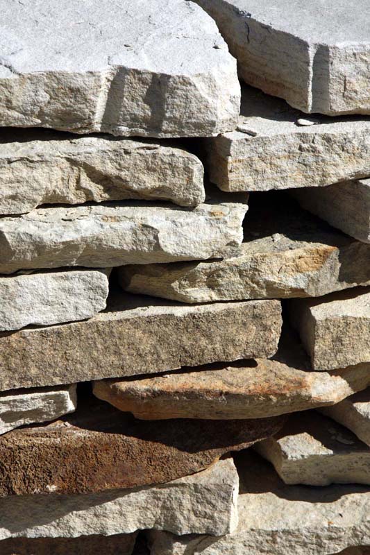
- Stone appearance
- Petrographic examination
- Physical properties
- Frost resistance
- Particle size distribution by image analysis
- Chemical and phase composition
- Notes and literature
Registry number of area: 7/1089Alternative name of quarry: KrákorkaRegion: KrálovéhradeckýCadastral area: Havlovice Type of stone: sandstone Stone name: Havlovice sandstone Alternative name of stone: - 
Contact
KRÁKORKA, a. s.Devět křížů 406Lhota za Červeným Kostelcem, Červený Kostelec 549 41 Tel: 491 422 373, 602 115 210 E-mail: prodej@krakorka.cz WWW: www.krakorka.czCoordinates
N: 50°29'26" E: 16°03'20"Map
Photos
Description
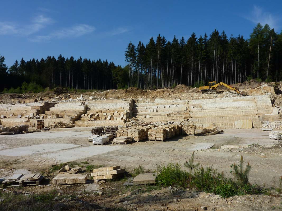
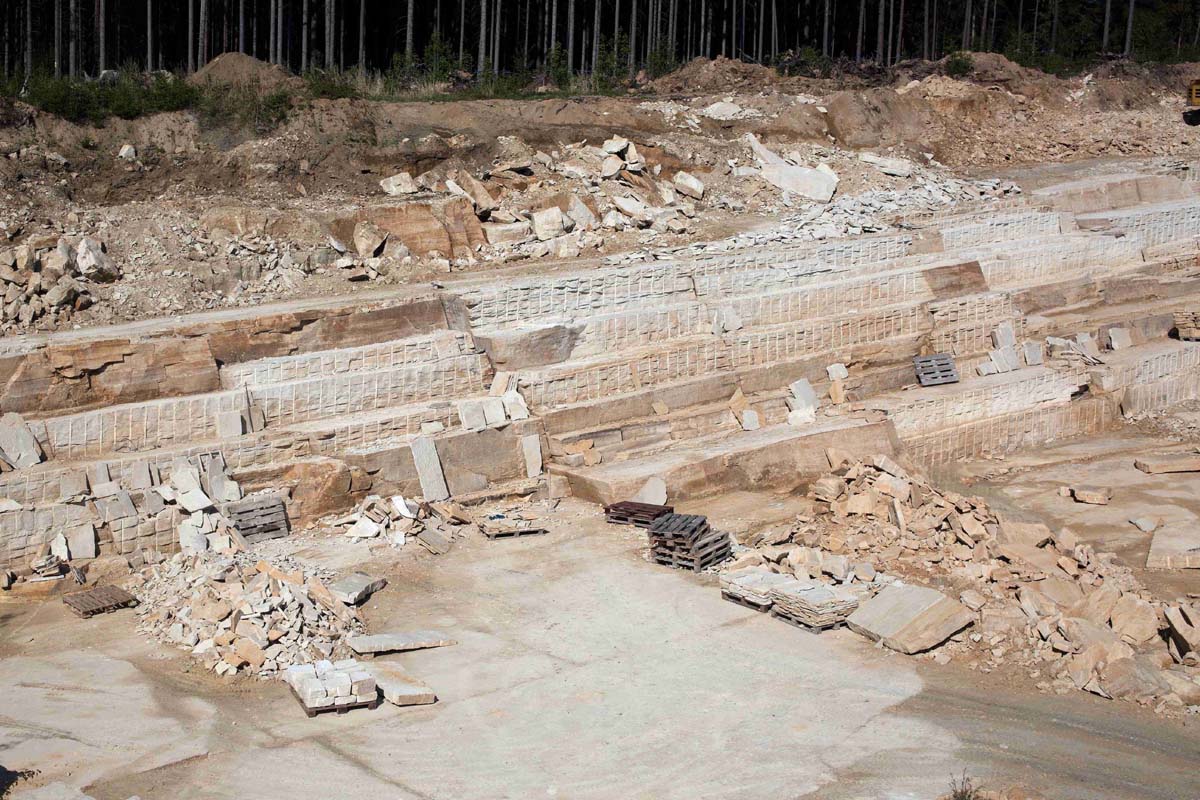
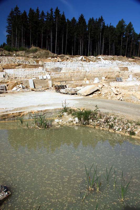
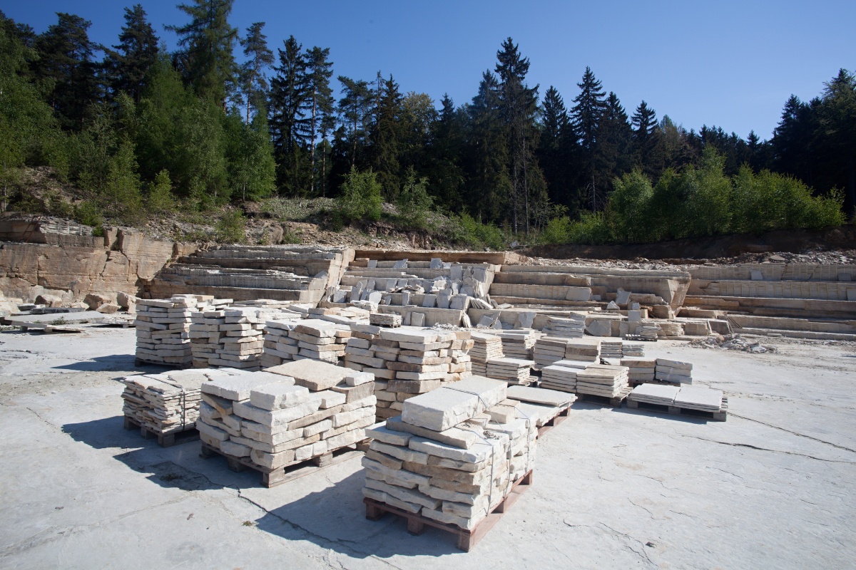
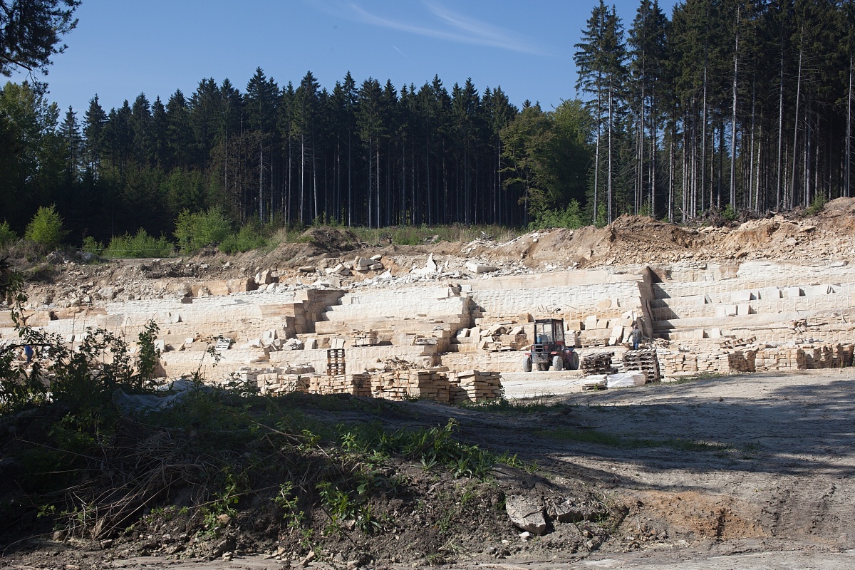
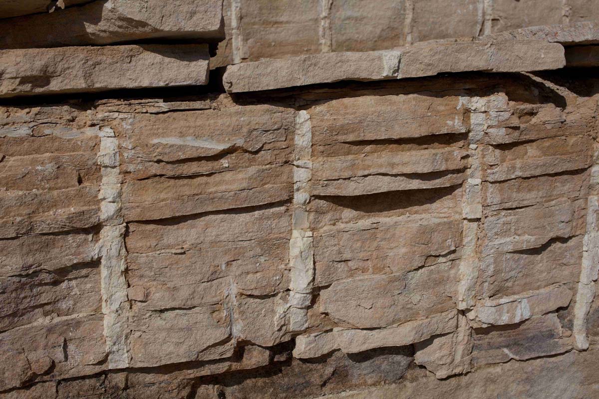
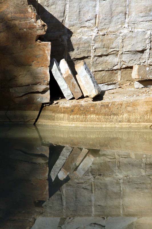
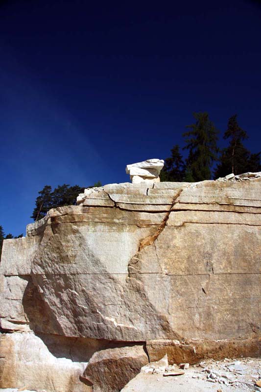
The quarry is located southeast from Trutnov, in the cadastral area of Havlovice. It is located in a forest between Havlovice and Červený Kostel. Is is accessible by turning northwest off road. No. 14 leading from Devět křížů, which after approximately 200 metres turns into a forest path leading west. The quarry is located about 800 metres from the road. Sandstone is mined manually without the use of explosives on the opposing eastern and western walls, which are about 200 metres apart. It is planned to open the southern wall. Horizontally oriented sandstone layers with a thickness of several centimetres up to tens of centimetres are mutually separated by kaolinitic clays and monumental blocks, and therefore cannot be mined. After mining, the sandstone is cut and processed to garden and building architecture products, mostly tiles and pavements.