Planá nad Lužnicí
- Quarry
- Particle morphology
- Chemical and phase composition
- Sand leachate and leachate analysis
- Physical properties
- Notes and Literature
Registry number of area: 7/1105Alternative name of quarry: Region: PlzeňskýCadastral area: Type of rock: sand 
Contact
Českomoravský štěrk, a.s.Mokrá 359Mokrá - Horákov 664 04 Tel: 544 122 111 E-mail: cmsterk@cmsterk.cz WWW: www.heidelbergcement.comCoordinates
N: 49°19'32" E: 14°42'08"Map
Photos
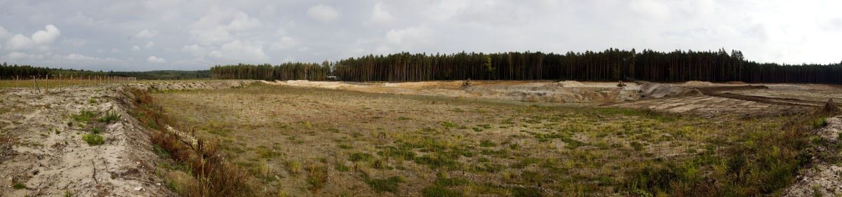
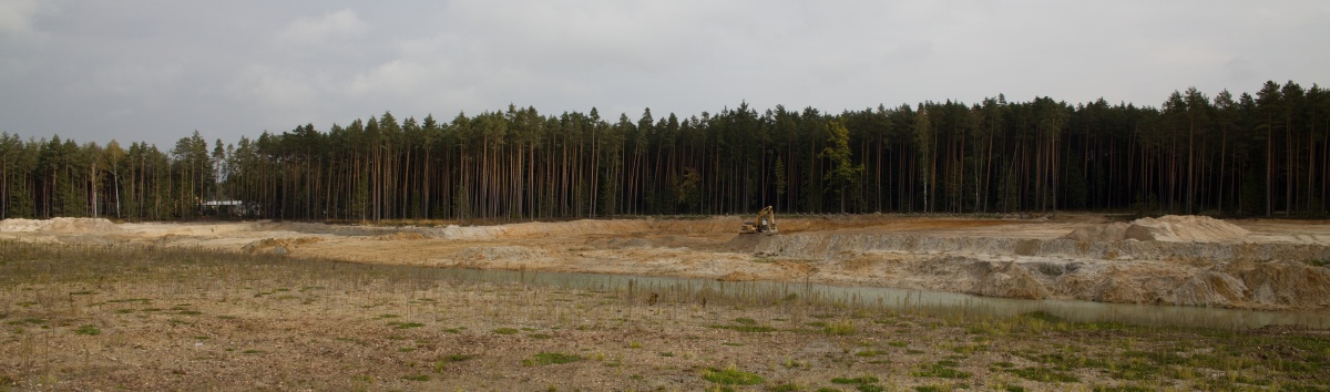
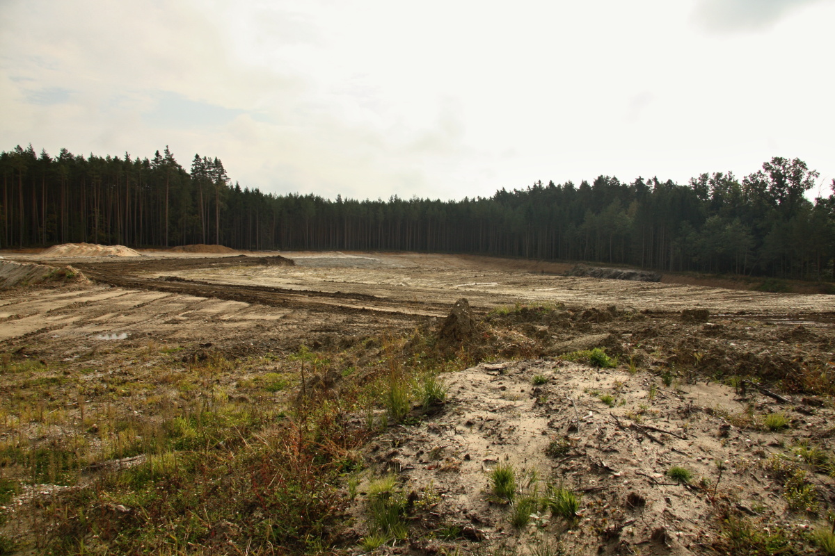
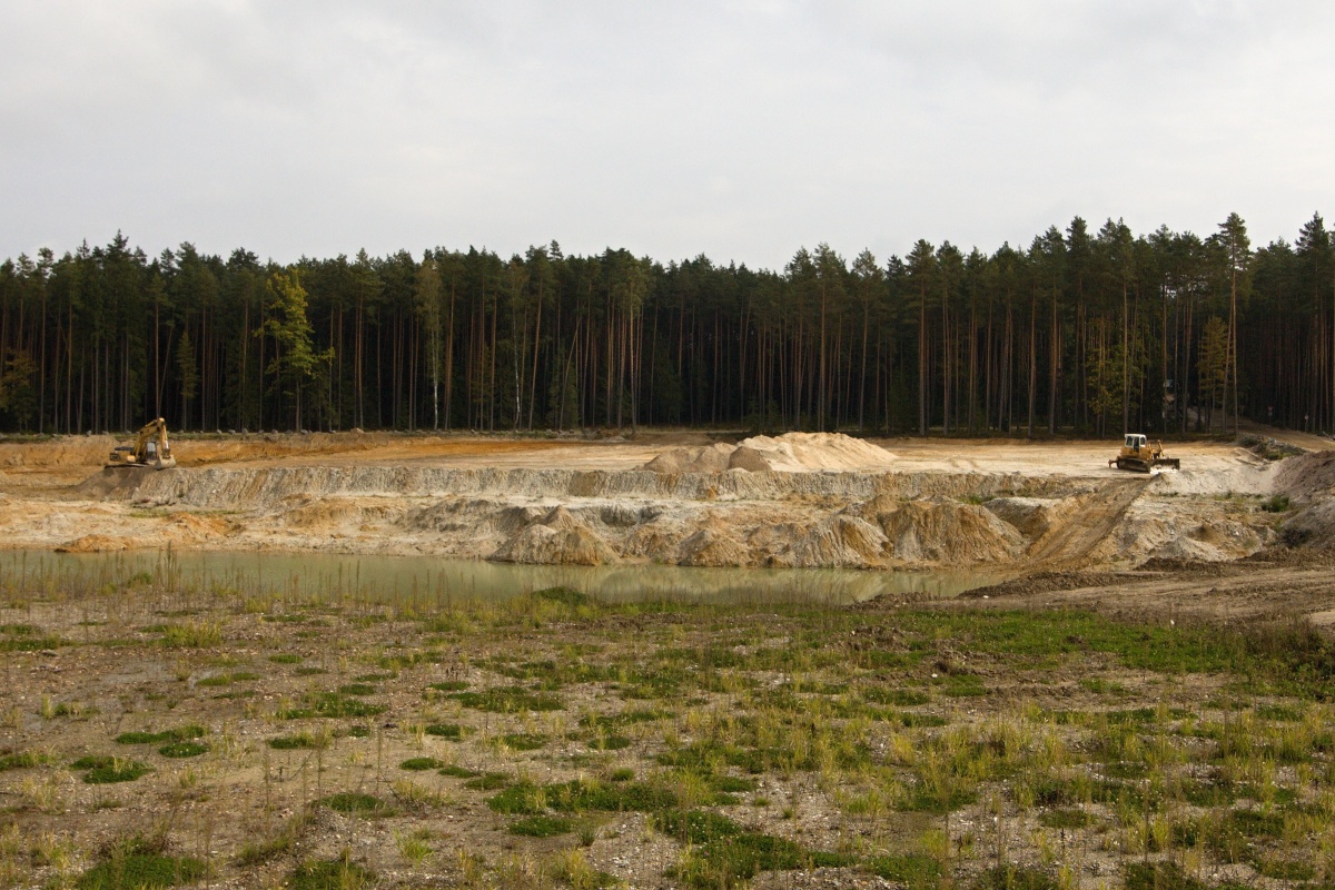
Description
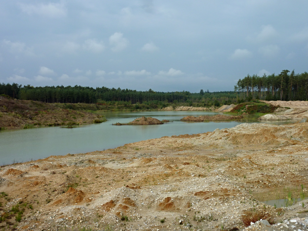
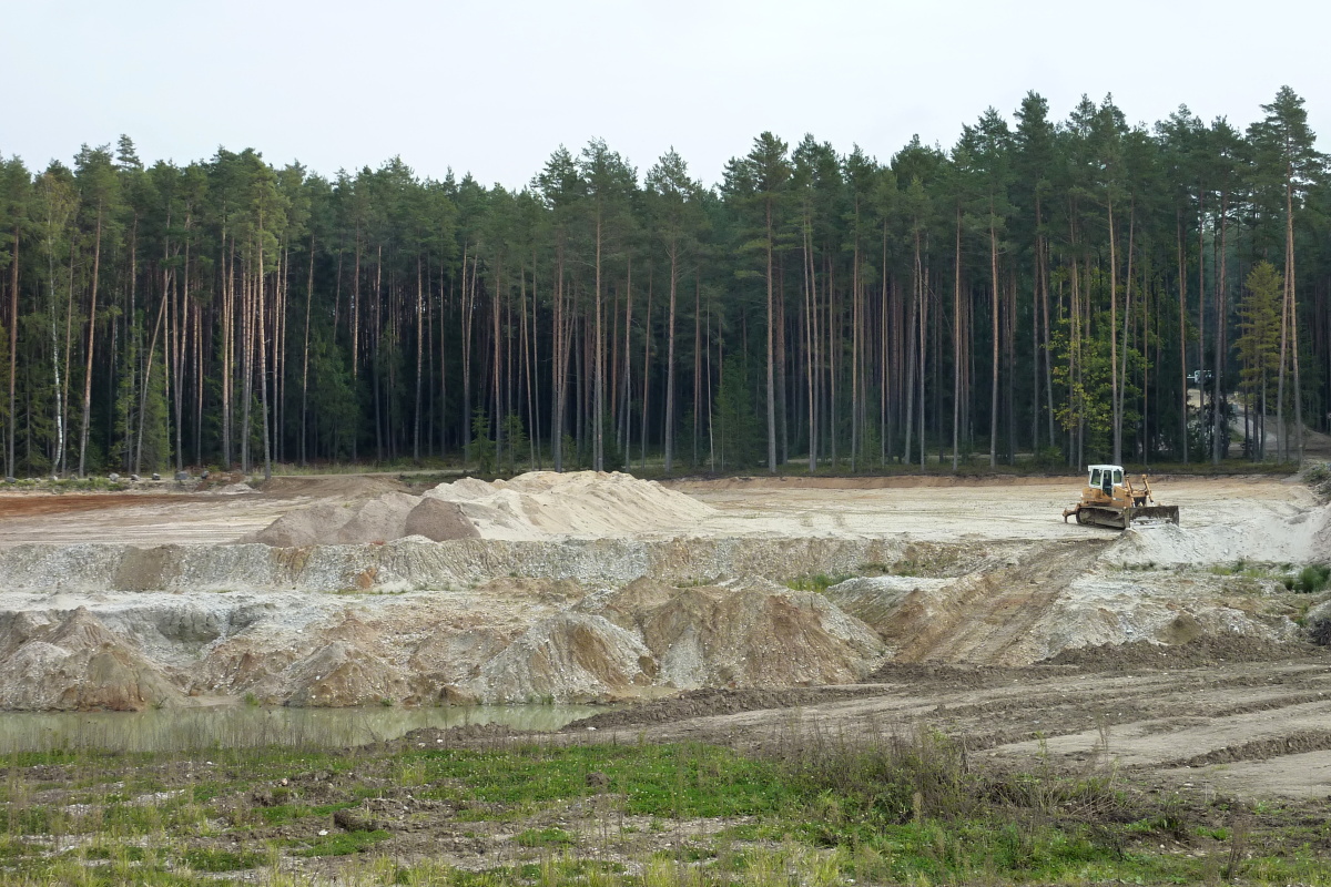
The sand quarry is situated about 2.5 km south from the centre of the village of Planá nad Lužnicí between the Lužnice River and road No. 3 (E55), from which an access road leads to the quarry. The quarry produces washed sand with fractions of 0-1, 0-2, 0-4 mm and coarse mined aggregates with fractions of 4-8, 8-16, 16-32 and 32-125 mm. The mining is carried out in three blocks – west, south and north – from only a 3 cm thick deposit. In the western block the deposit is partially below the surface of underground water and the sand is of a darker red-yellow colour. Southwards and northwards the deposit rises above the water surface. The sample for analysis was taken from the light ochre sand from the southern block. The northern block produces grey-white sand.