Selibice I
- Quarry
- Particle morphology
- Chemical and phase composition
- Sand leachate and leachate analysis
- Physical properties
- Notes and Literature
Registry number of area: 7/1184Alternative name of quarry: Region: ÚsteckýCadastral area: Type of rock: sand 
Contact
PÍSKY - J. Elsnic, spol. s r.o.K. H. Borovského 329Postoloprty 439 42 Tel: 415 783 506, 605 872 306 E-mail: pisky@elsnic.com WWW: www.pisky.elsnic.comCoordinates
N: 50°21'07" E: 13°37'10"Map
Photos
Description
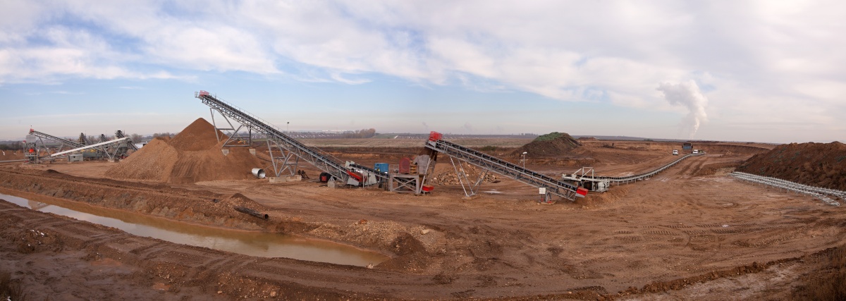
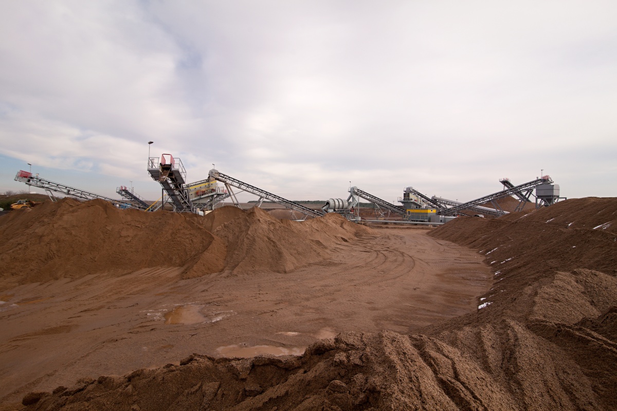
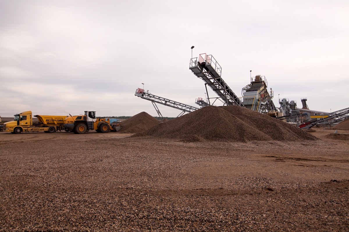
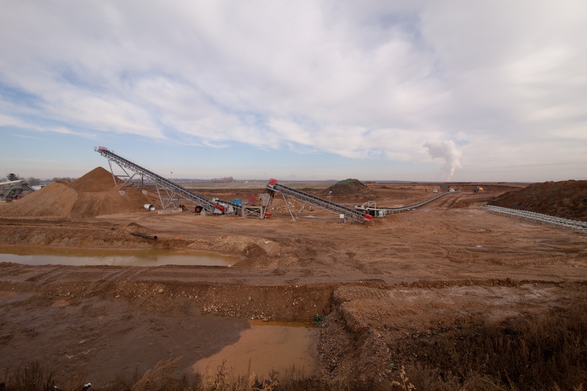
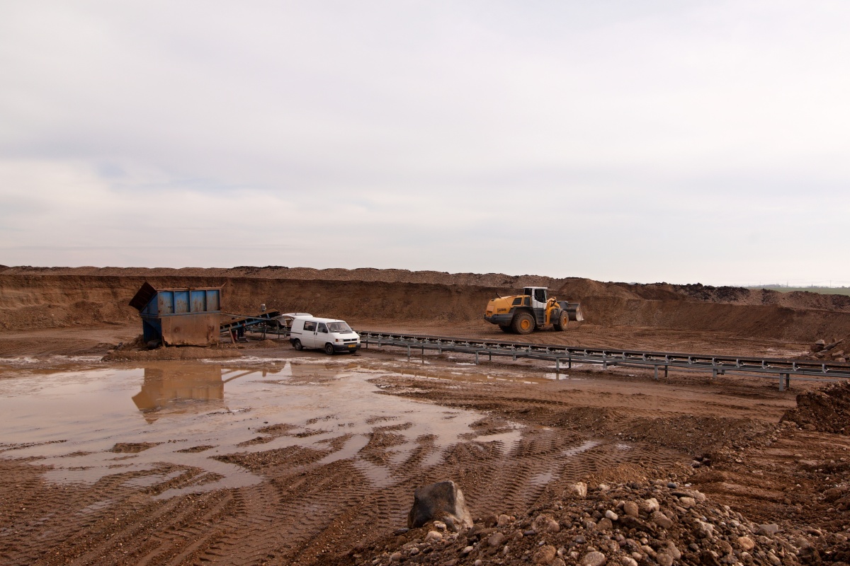
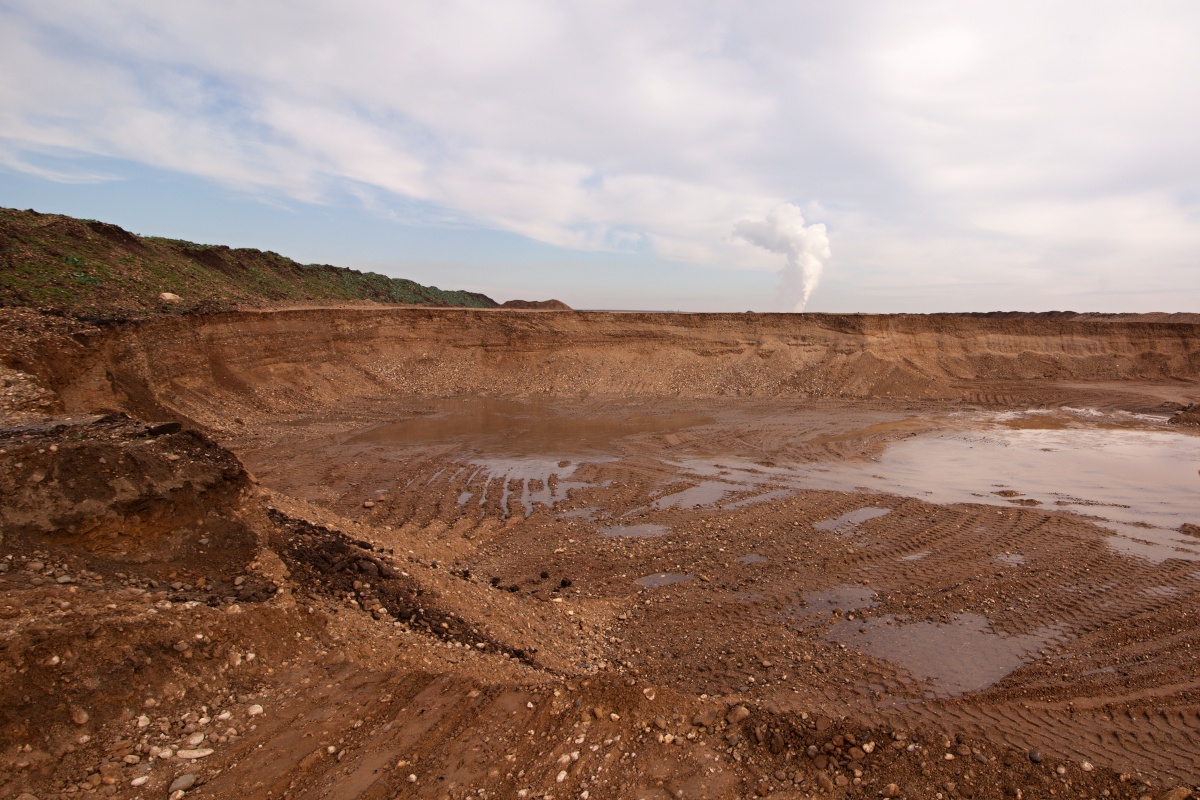
Mining in the Selebice I quarry started in October 2012. The sand quarry is located about 1 km north from the village of Selibice. However, the access road leads from the north, via a turn from road No. 250 between Staňkovice and the R7 expressway. The material contains a large share of large grain-size fractions, which is why it is first crushed, then washed and sorted. The quarry therefore only produces washed sand (fractions of 0-4, 8-16, 4-8, 16-22 mm). The mining area is one of the largest areas allowed after 1989. It covers an area of over 100 hectares. The layer thickness is 2-5 m and the capping thickness does not exceed 1 m. Mining is carried out in the northern direction.