Střeleč
- Quarry
- Particle morphology
- Chemical and phase composition
- Sand leachate and leachate analysis
- Physical properties
- Notes and Literature
Registry number of area: 6/0041Alternative name of quarry: Region: KrálovéhradeckýCadastral area: Type of rock: sand 
Contact
Sklopísek Střeleč, a.s.Újezd pod Troskami, Hrdoňovice 80Mladějov v Čechách 507 45 Tel: 493 505 111 E-mail: obchod@sklopisek.cz WWW: www.sklopisek.czCoordinates
N: 50°29'35" E: 15°14'44"Map
Photos


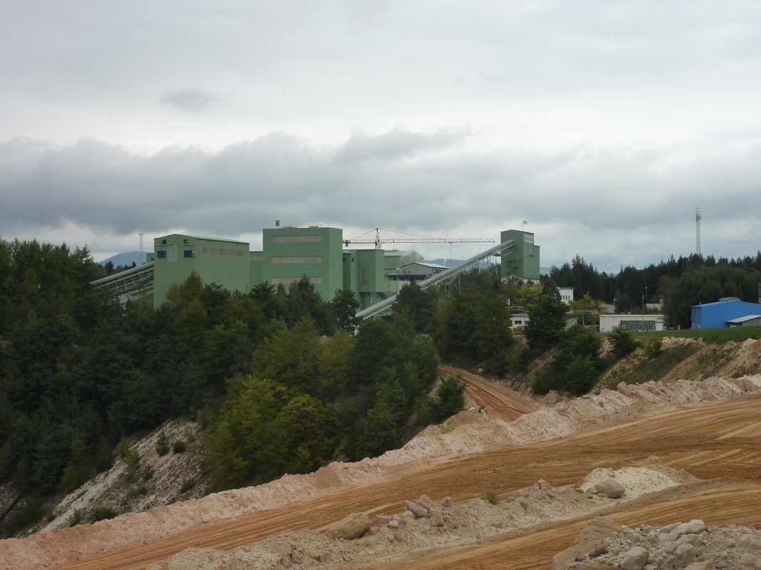
Description
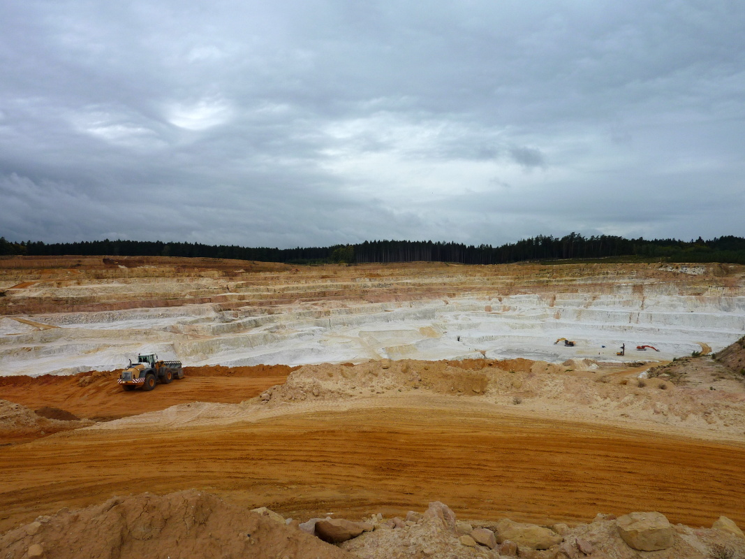
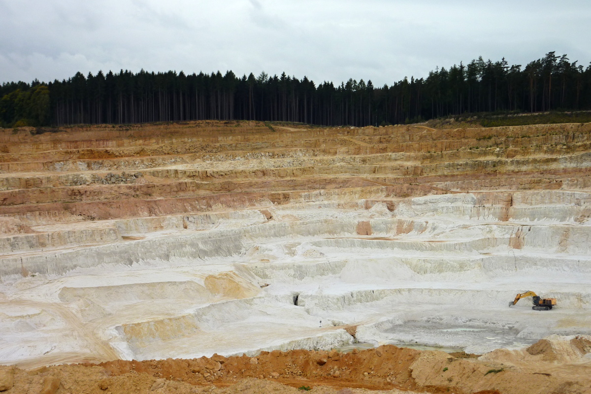
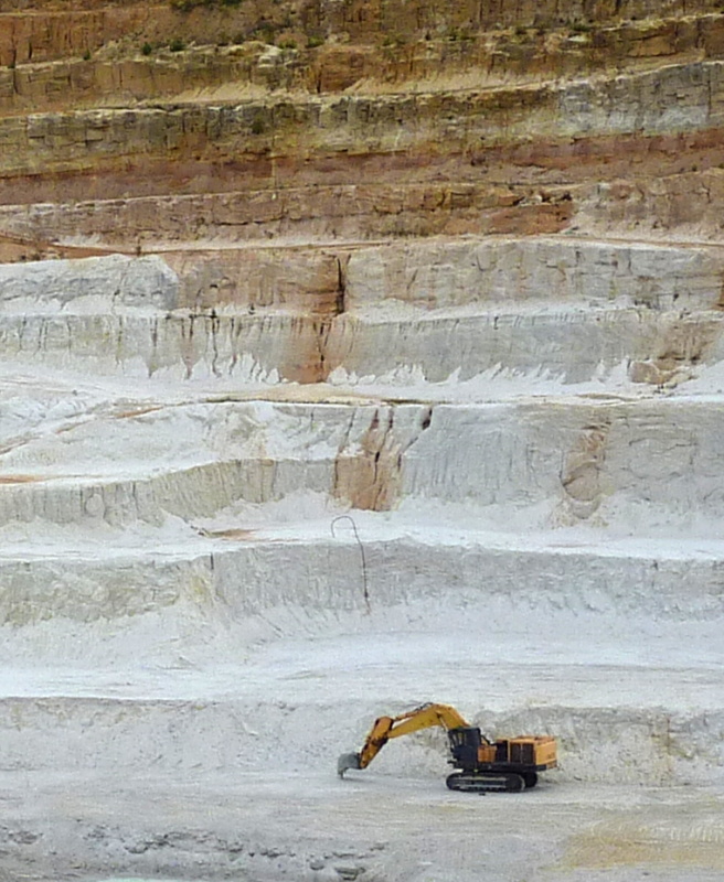
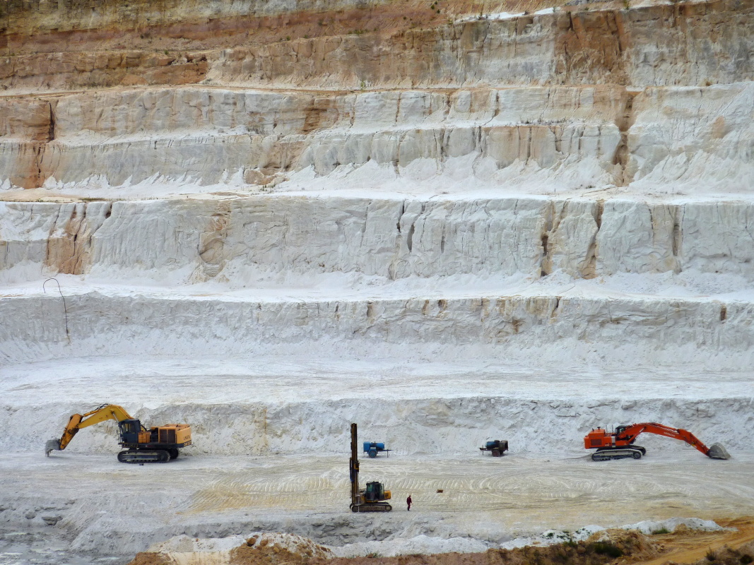
This large quarry is located on the southeastern slope of Kamenný hill, west of road No. 281 near the village of Hrdoňovice. The quarry consists of 10 mining levels, each no more than 6 metres high. Another 4 storeys constitute the capping with a total thickness of 20 metres. Higher floors produce light ochre foundry sand; lower floors produce white – glass sand with a very low content of iron. The mining is carried out in the western direction. The sand is cohesive and is therefore mined by blasting. It is then crushed, washed and sorted. The sand quarry therefore only produces washed sand intended namely for technical applications (production of foundry moulds, glass industry, filtration sand, etc.). The sample for analysis was taken directly from the quarry, from a location of finer, glass sand.