Smiřice
- Quarry
- Particle morphology
- Chemical and phase composition
- Sand leachate and leachate analysis
- Physical properties
- Notes and Literature
Registry number of area: 7/1167Alternative name of quarry: Region: KrálovéhradeckýCadastral area: Type of rock: sand 
Contact
Holcim (Česko) a.s., člen koncernuTovární ul. 296Prachovice 538 04 Tel: 469 810 111 E-mail: jan.zeman@holcim.com WWW: www.holcim.czCoordinates
N: 50°17'05" E: 15°50'54"Map
Photos
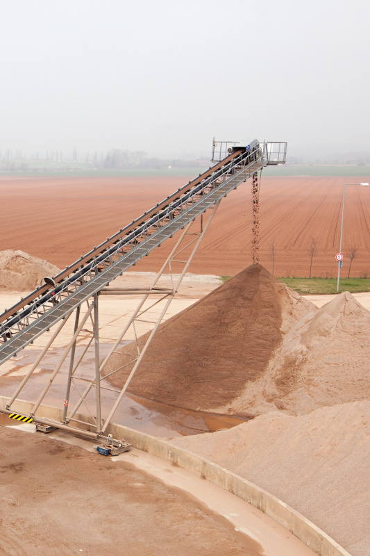
Description
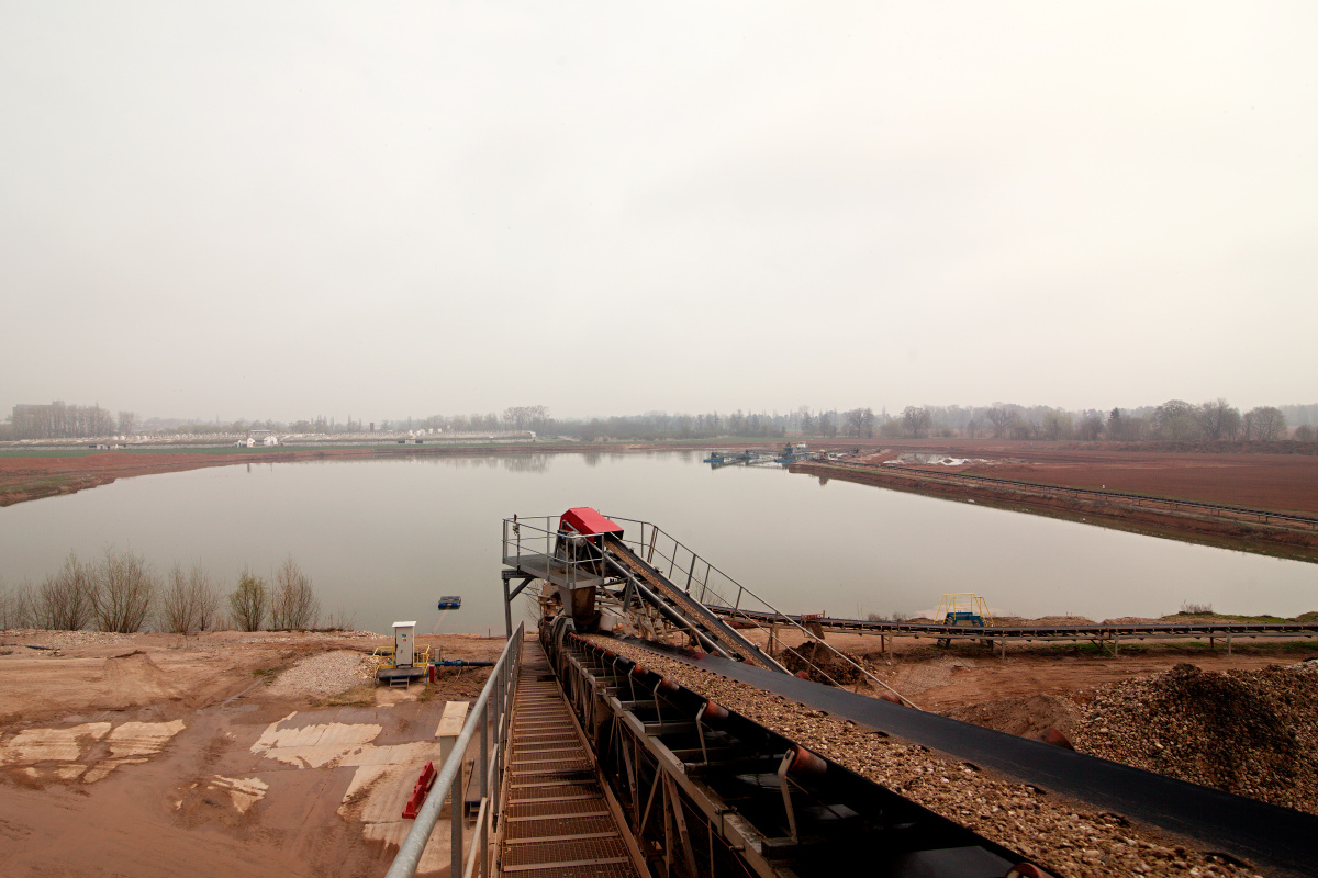
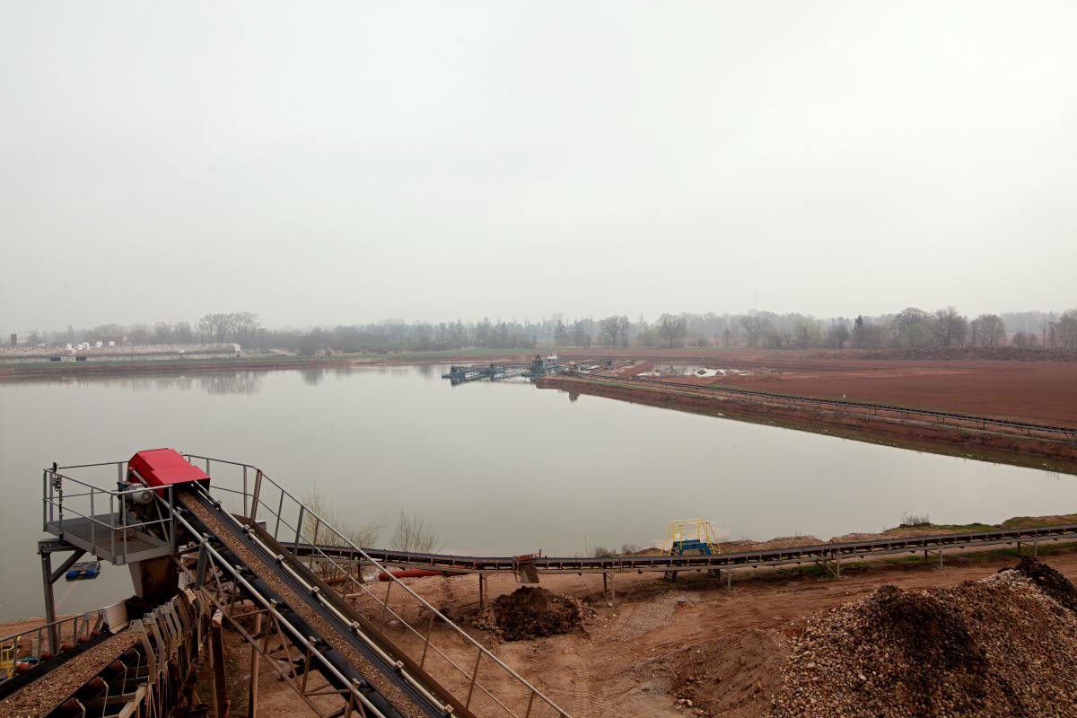
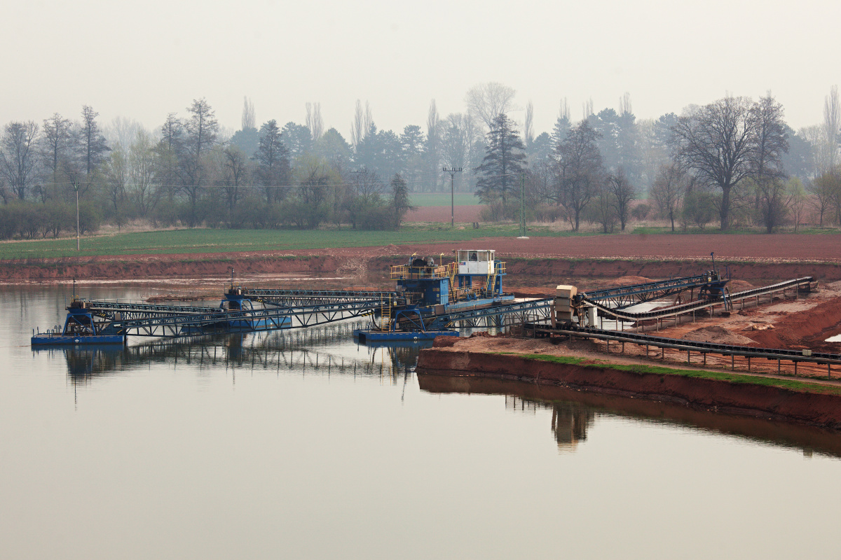
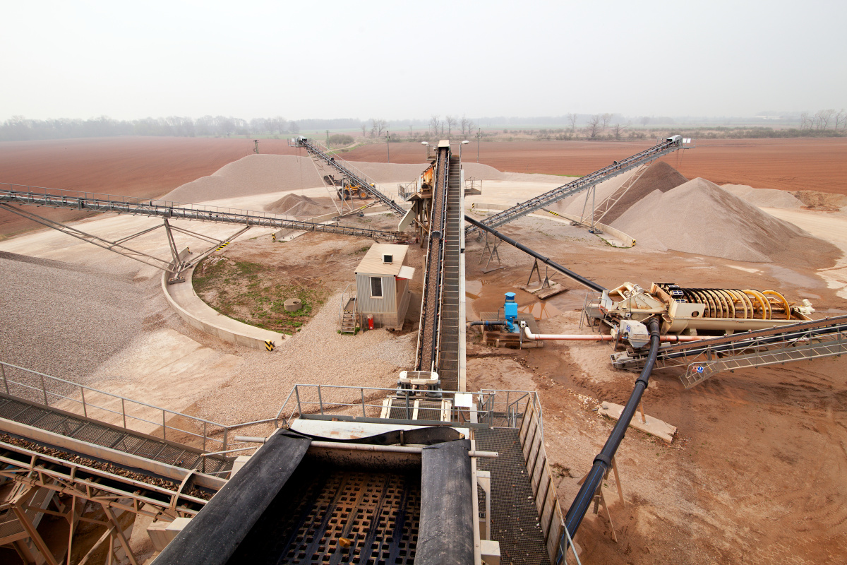
The sand quarry is located about 2 km southwest from the centre of Smiřice, from where it is accessible via a road made of concrete panels. It is situated 800 m from the Elbe River, below the level of the river surface. The wall is 9 m high and is located under the water surface. The capping constitutes about 2 m, out of which 1 m is above the water surface. The material is mined by bucket excavators and is transported using belt conveyors to the nearby processing plant, where it is washed and sorted in several steps. The sand quarry therefore only produces washed sand with differed grain-size fractions. The sample for analysis was also taken from the washed sand. The deposit is extensive and the reserves will probably last for more than 35 years of mining.