Běleč nad Orlicí I
- Quarry
- Particle morphology
- Chemical and phase composition
- Sand leachate and leachate analysis
- Physical properties
- Notes and Literature
Registry number of area: 7/1109Alternative name of quarry: MarokánkaRegion: KrálovéhradeckýCadastral area: Type of rock: sand 
Contact
Městské Lesy Hradec Králové a.s.Přemyslova čp. 219Hradec Králové - Nový Hradec Králové 50008 Tel: 495 272 656 E-mail: mlhk@vslesy.cz WWW: http://mestske-lesy.czCoordinates
N: 50°10'59" E: 15°57'40"Map
Photos
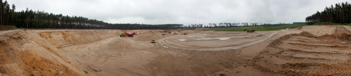
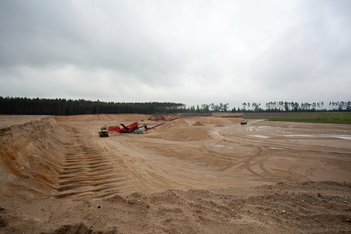
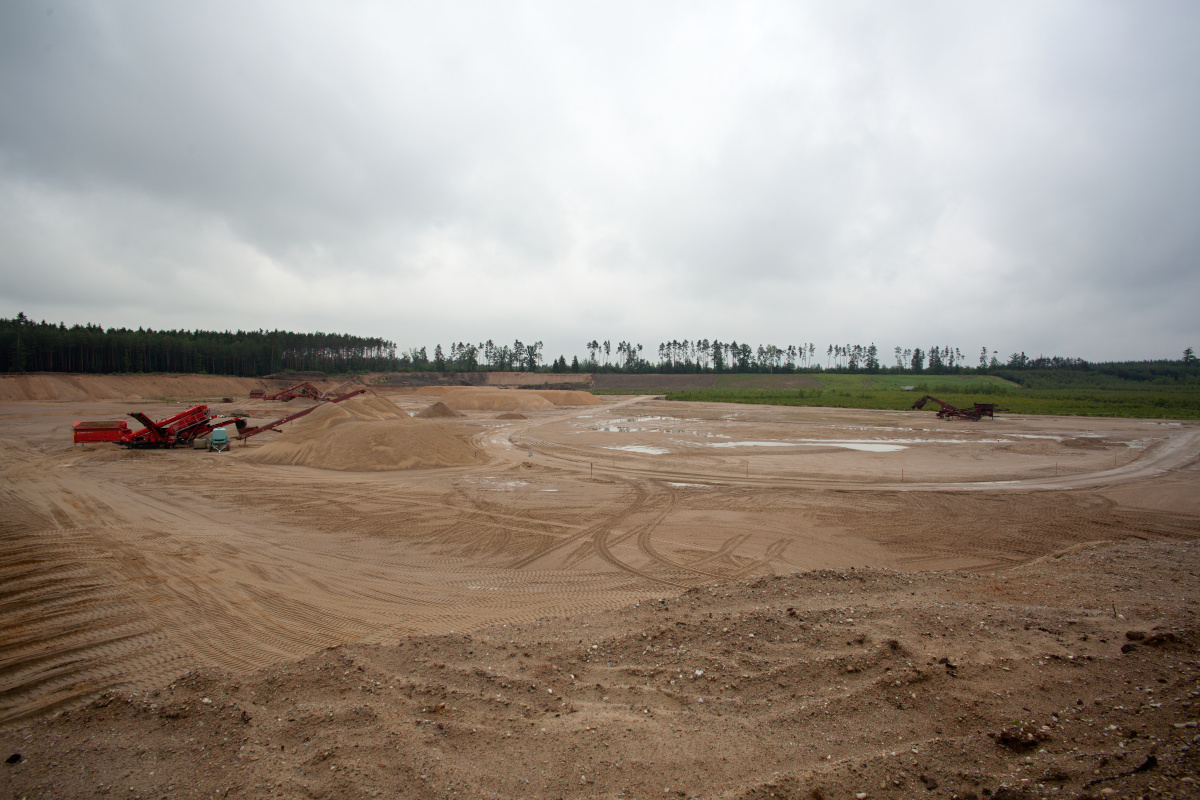

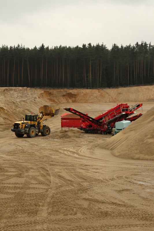
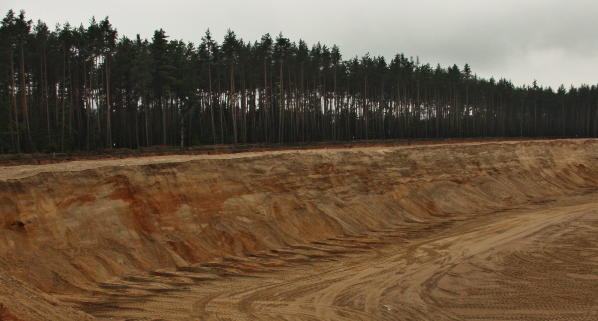
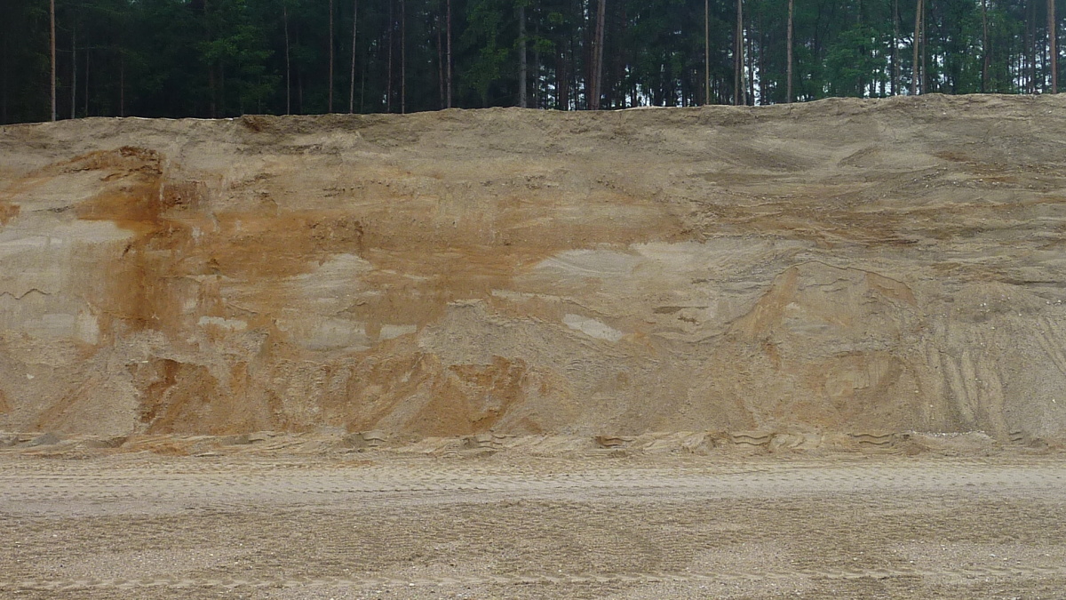
Description
The sand quarry is located in a forest about 2 km southwest from Třebechovice pod Orebem, about 500 m west from road No. 298. The quarry produces pit and washed sand of various fractions. The sand is mined from a wall as high as 8.5 m with another 1.5 m made up of capping. By 2019, the quarry capacity will have been completely mined out, which is why mining in the nearby Marokánka II quarry located east from road No. 298 is being prepared; its expected deposit will last for another 60 years (N-50°10’52”; E-15°58’07”).