Dřenice I
- Quarry
- Particle morphology
- Chemical and phase composition
- Sand leachate and leachate analysis
- Physical properties
- Notes and Literature
Registry number of area: 7/1042Alternative name of quarry: Region: KarlovarskýCadastral area: Type of rock: sand 
Contact
České štěrkopísky spol. s r.o. Cukrovarská 34Praha 9 - Čakovice 196 00 Tel: 354 430 337, 739 506 918 E-mail: drenice@ceske-sterkopisky.cz WWW: www.ceske-sterkopisky.czCoordinates
N: 50°04'17" E: 12°25'56"Map
Photos
Description
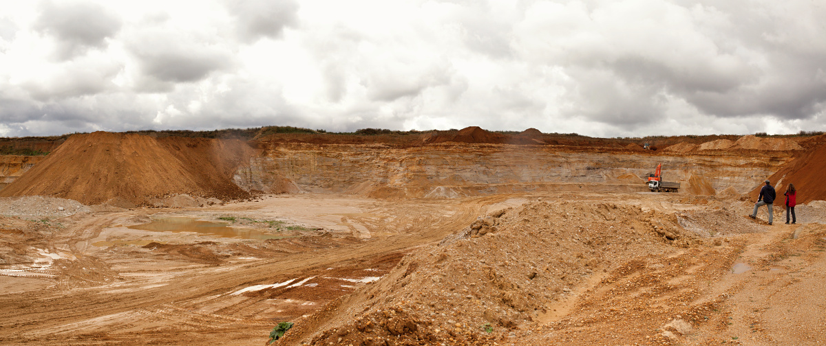
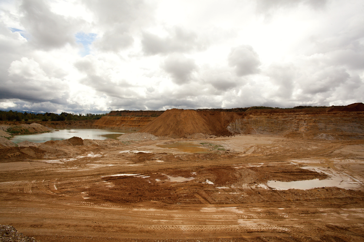
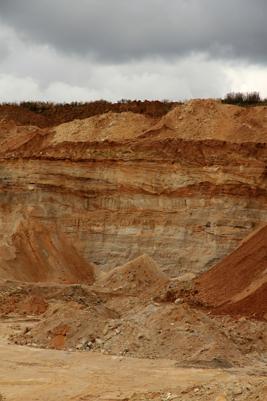
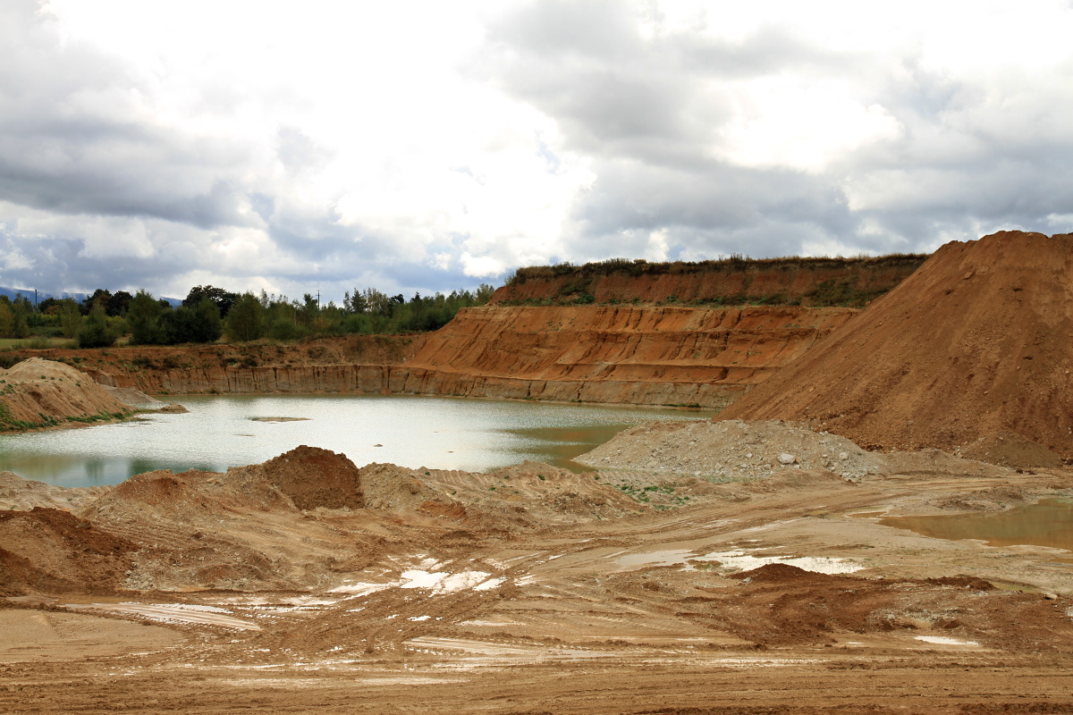
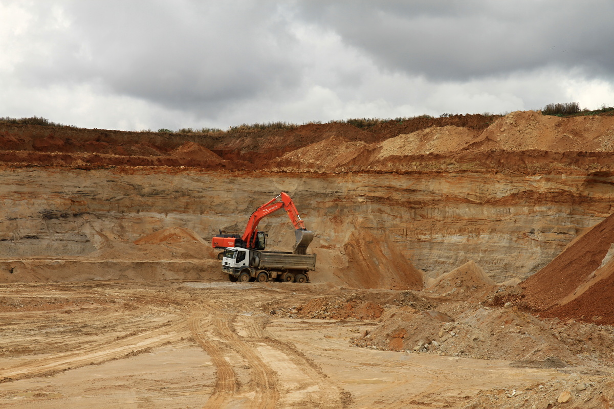
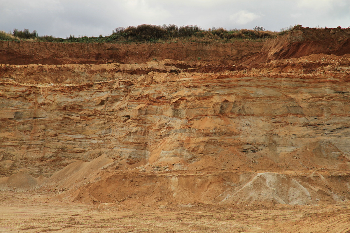
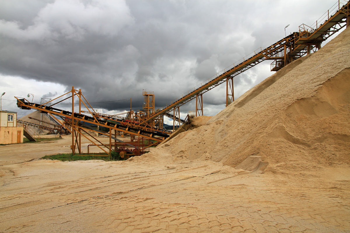
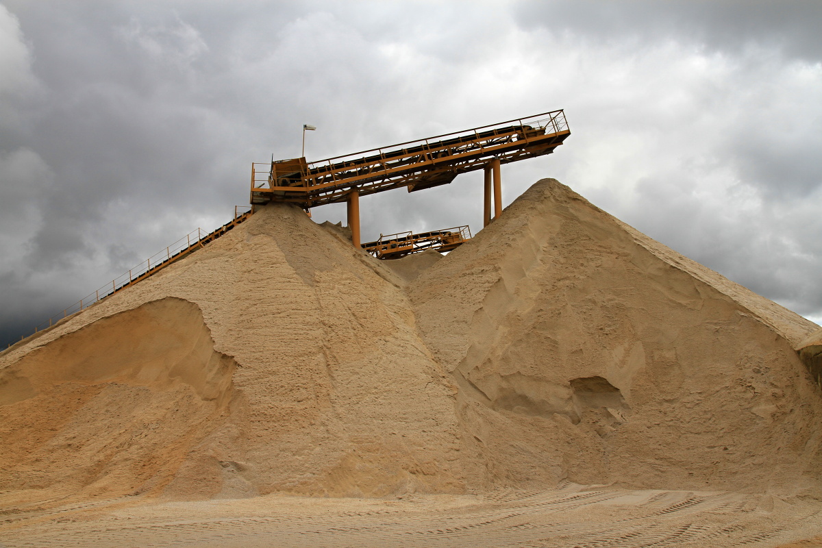
The Dřevnice sand quarry is situated between road R6 and the Jesenice water reservoir. It is accessible from the road connecting Dolní Dvory with road No. 21 via a southeast turn. Sand in Dřenice is mined on three levels from about 6 m high walls using loaders. The capping thickness reaches up to 8 m. The sand is coloured in different shades of ochre. The mined material is transported to the border of the sand quarry, where it is washed and sorted to gain-size fractions of 0-2 and 0-4 mm. In addition to sand, the quarry also produces gravel of different fractions. Mining is carried out in the southwestern and western direction.