Grygov-Tážaly
- Quarry
- Particle morphology
- Chemical and phase composition
- Sand leachate and leachate analysis
- Physical properties
- Notes and Literature
Registry number of area: 3045200Alternative name of quarry: Region: OlomouckýCadastral area: Type of rock: sand 
Contact
Štěrkovny Olomouc a.s.Javoříčská 682/12Olomouc 779 00 Tel: 585 155 396, 605 243 671 E-mail: - WWW: www.sterk-olomouc.czCoordinates
N: 49°31'33" E: 17°17'24"Map
Photos
Description
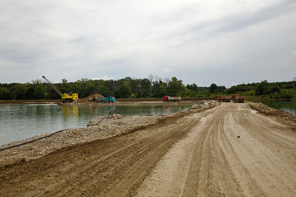
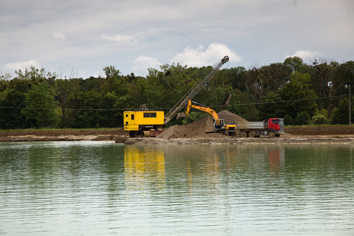
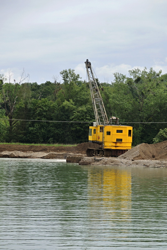
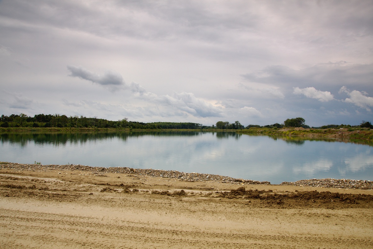
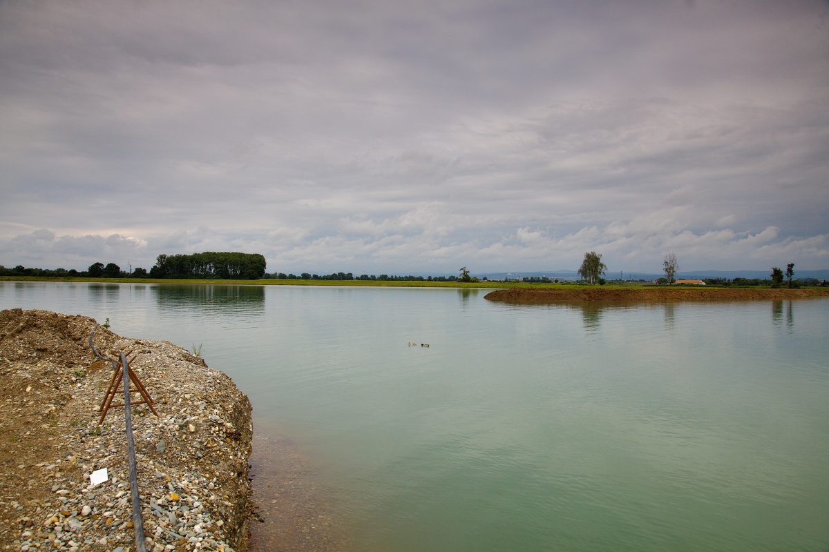
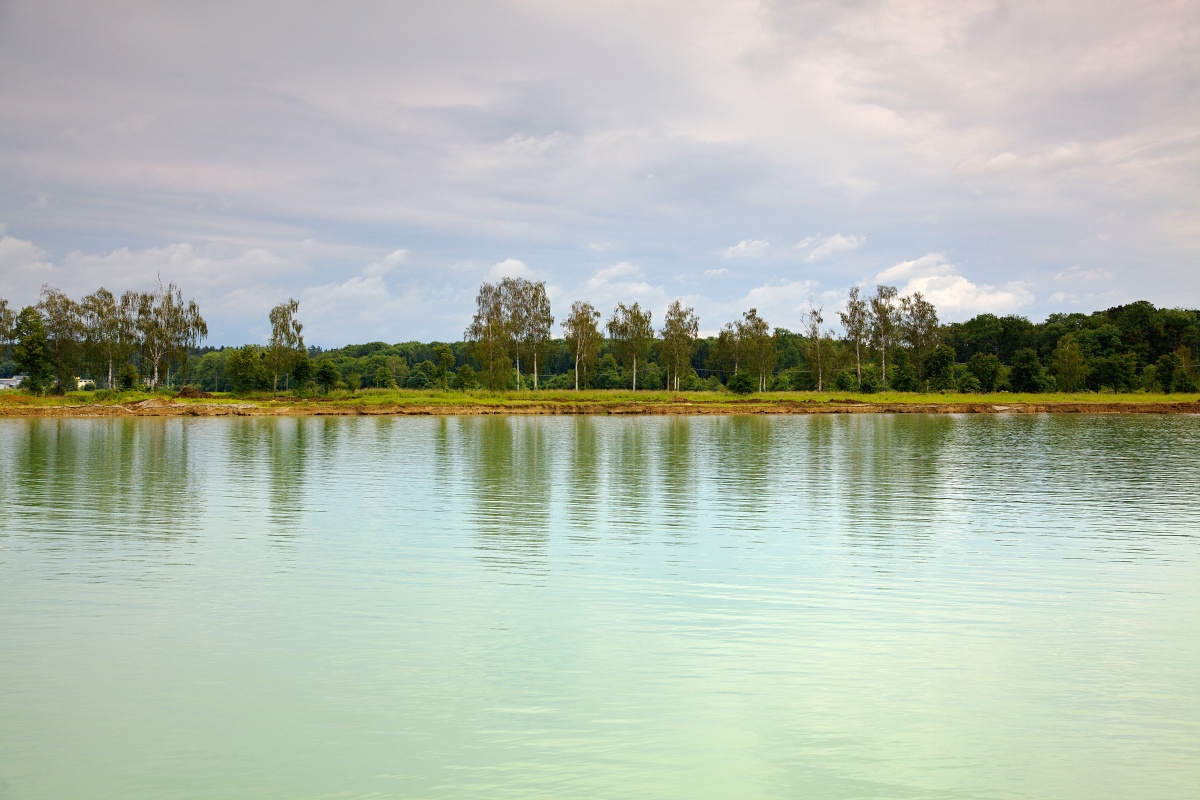
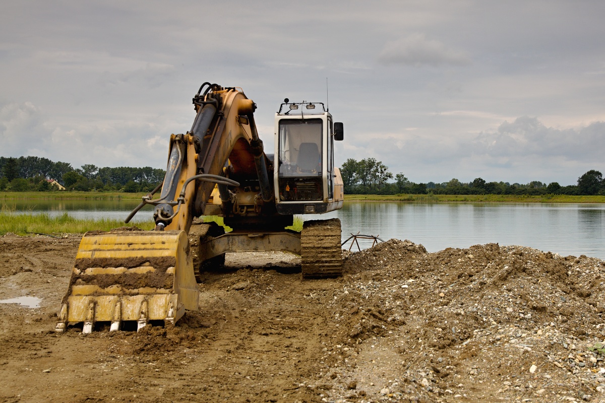
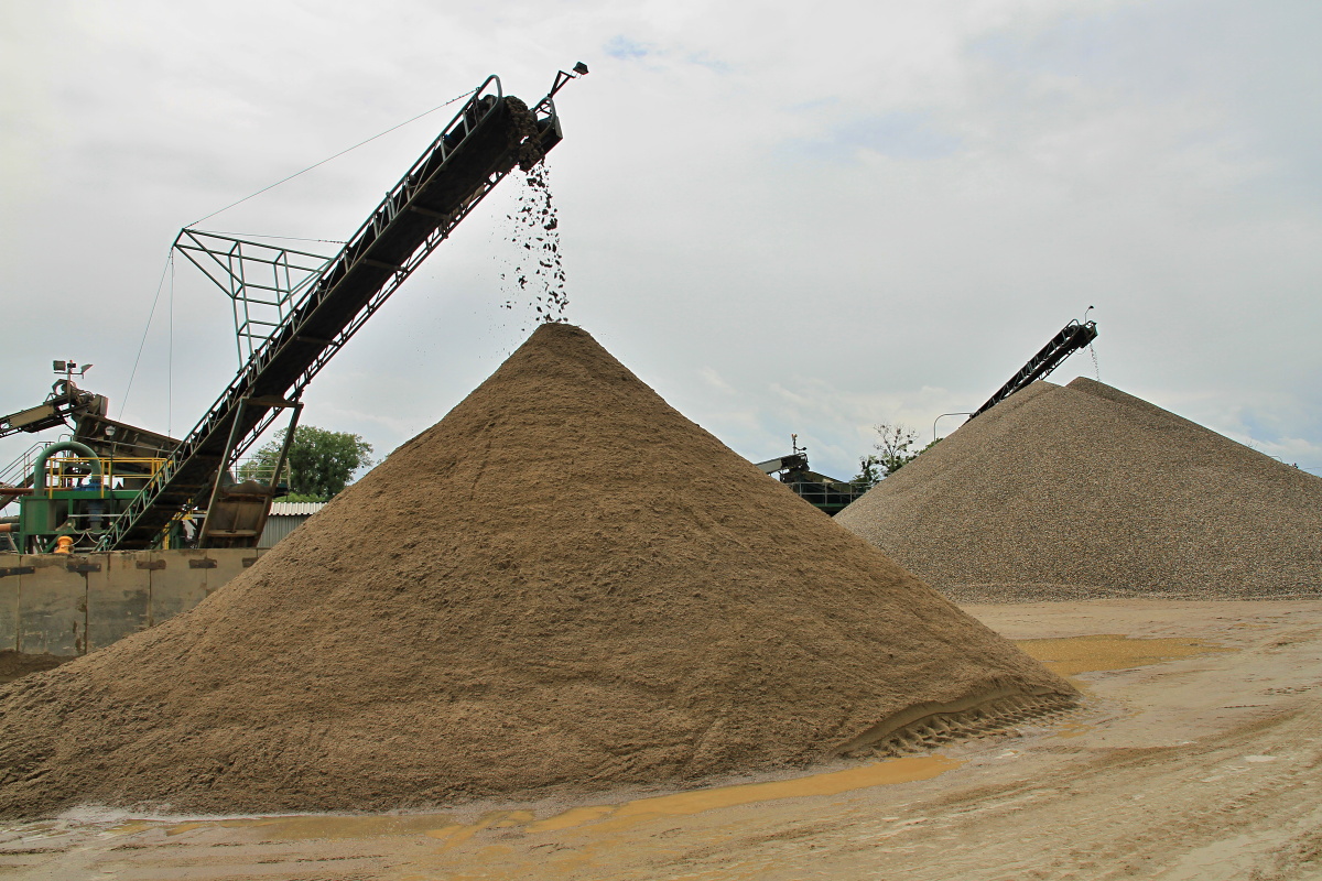
The Grygov sand quarry (Grygov – Tážaly) is located south of the road connecting Tážaly with Grygov; the quarry is accessible via a turn from this road. The mining is carried out using a dragline excavator. Sand is mined from under the water surface of two water reservoirs (north and south), from a 5.5 m thick wall. The capping constitutes another 1 m. The material is transported from the quarry in trucks to the nearby processing line, where it is washed and sorted into factions of 0-4, 4-8, 8-16 and 16-22 mm.