Mankovice
- Quarry
- Particle morphology
- Chemical and phase composition
- Sand leachate and leachate analysis
- Physical properties
- Notes and Literature
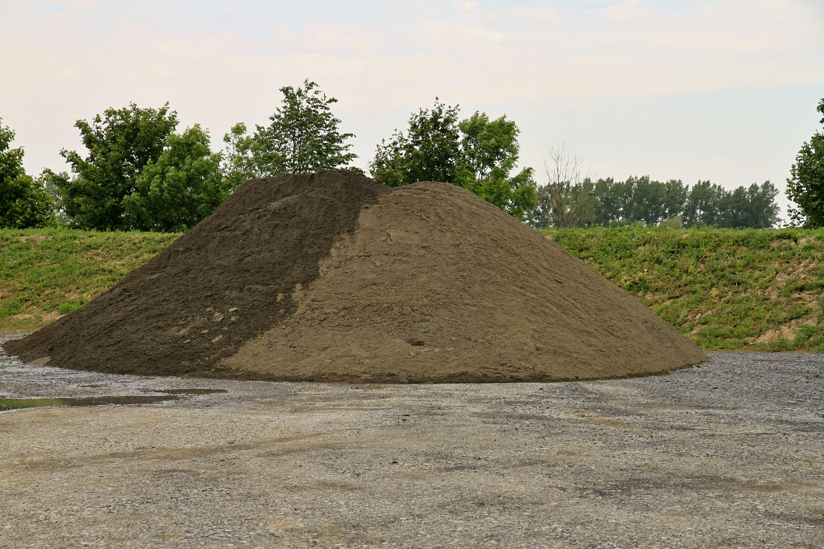
Registry number of area: 7/1185Alternative name of quarry: Region: MoravskoslezskýCadastral area: MankoviceType of rock: sand 
Contact
Českomoravský štěrk, a.s. Mokrá 359Mokrá - Horákov 664 04 Tel: 544 122 111 E-mail: cmsterk@cmsterk.cz WWW: www.heidelbergcement.comCoordinates
N: 49°37'57" E: 17°55'32"Map
Photos
Description
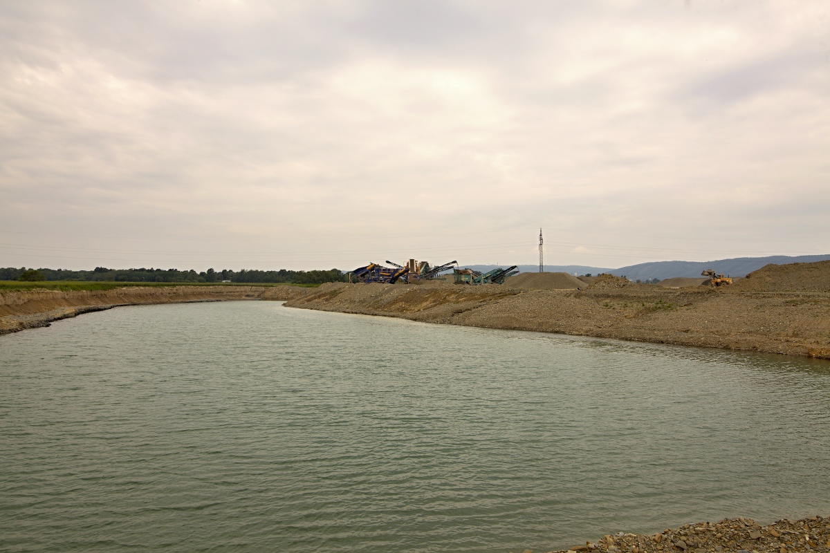
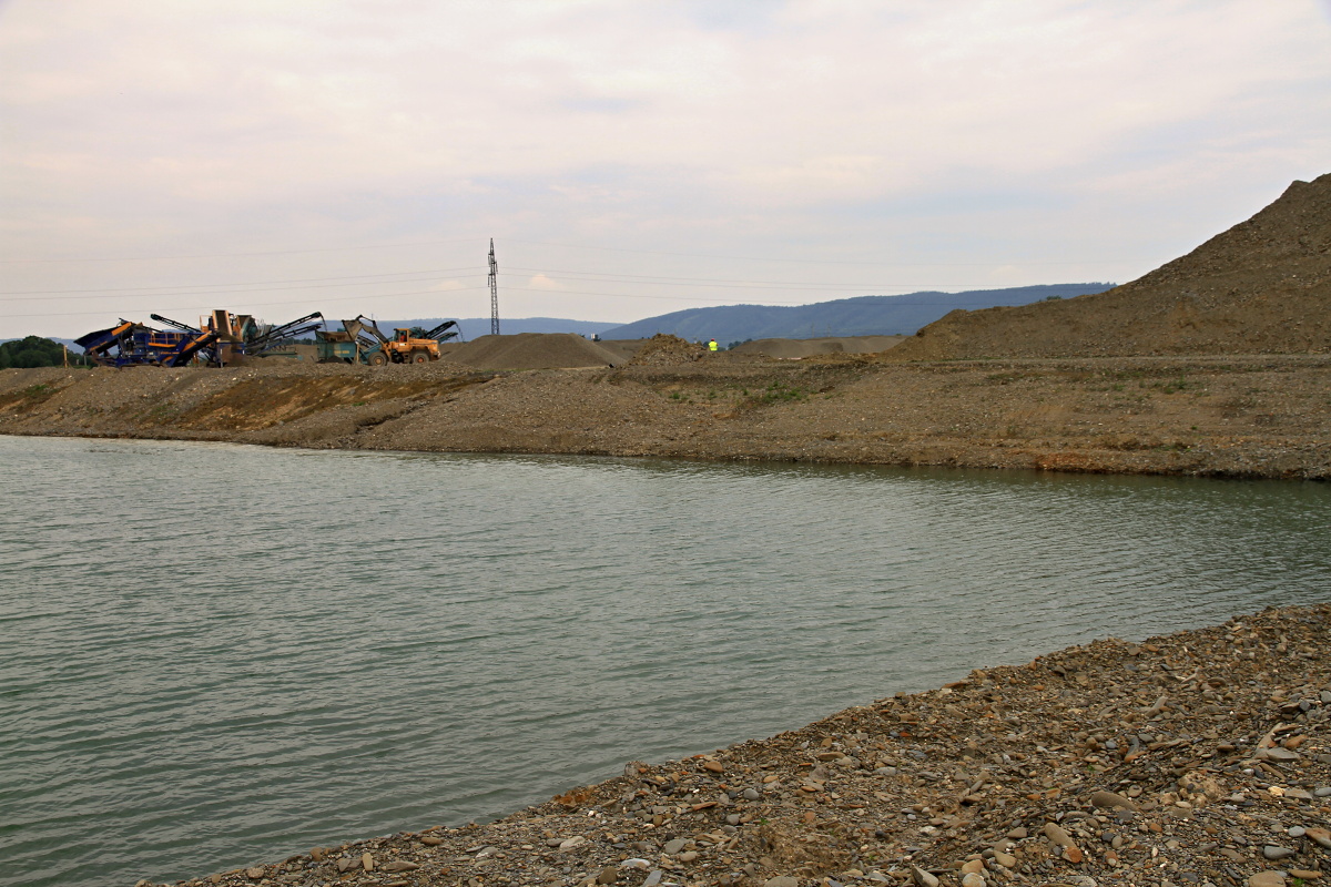
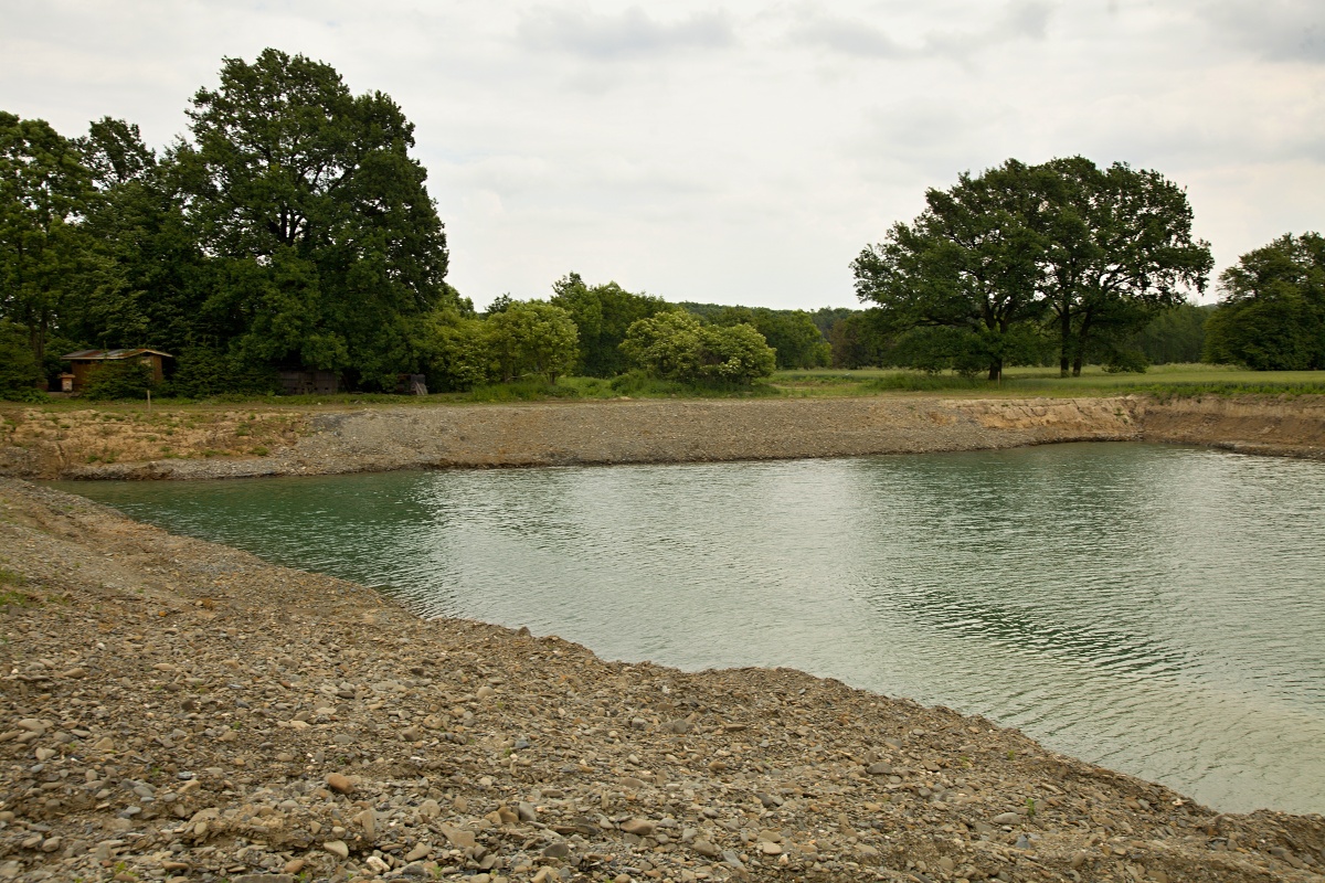
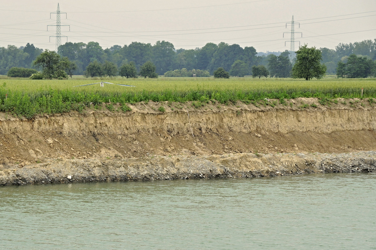
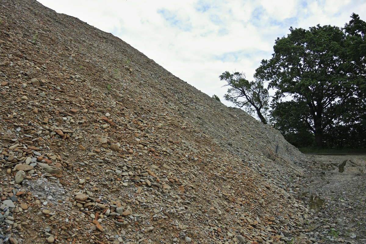
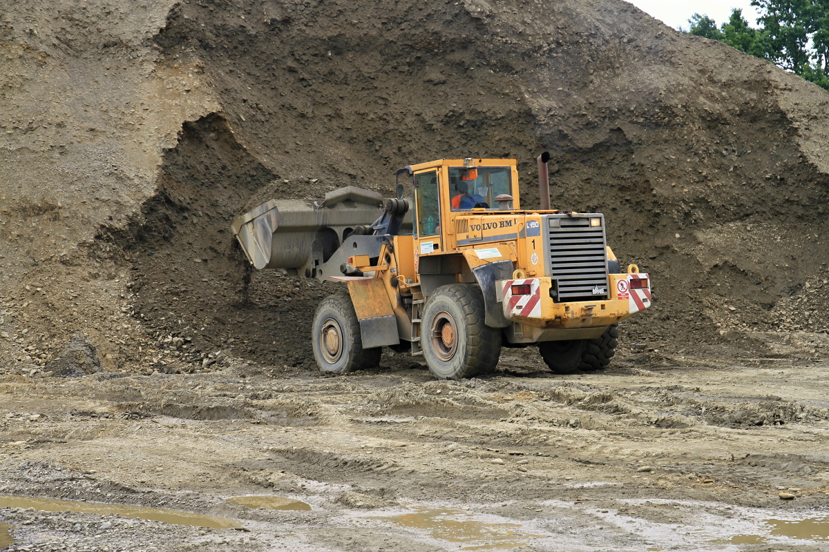
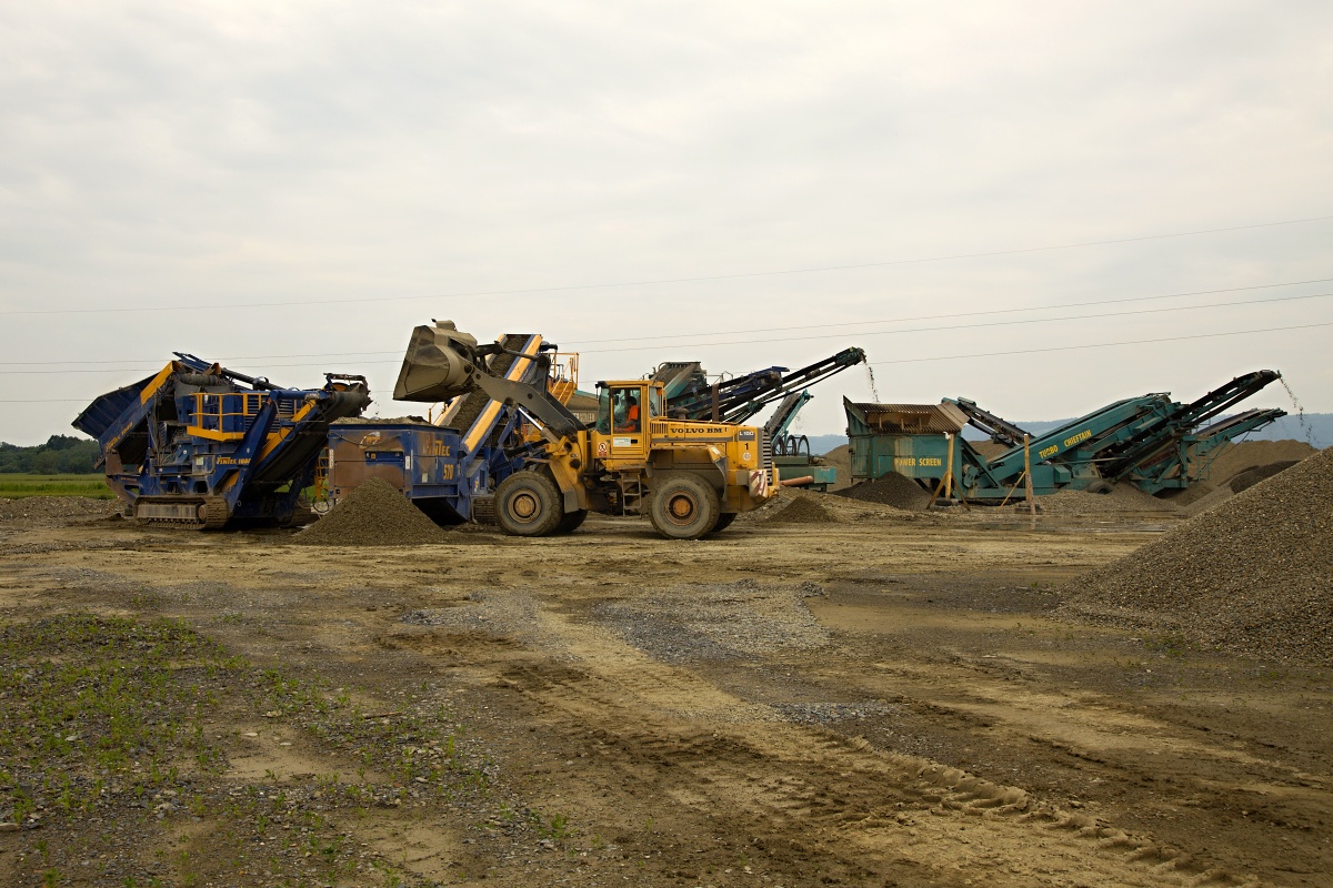
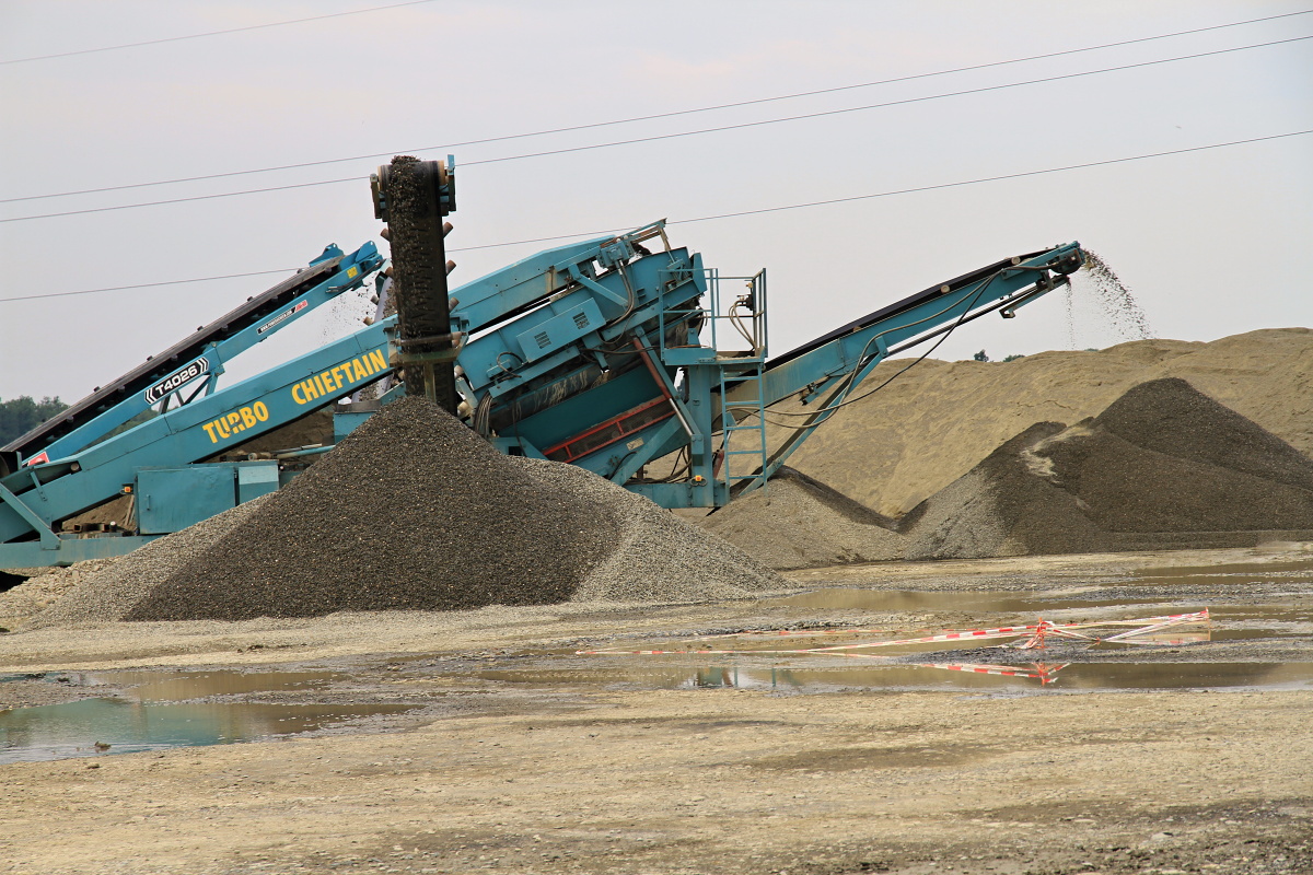
The newly founded sand quarry is accessible from the road leading through Mankovice towards Suchdol nad Odrou. The quarry is accessed via a 400 m long southeastern turn behind the railroad crossing south of Suchdol nad Odrou. The material is mined from a 5 m thick wall located under the surface of underground water. Before mining the water is pumped off and the sand is mined by an undermine excavator. The material is gradually processed by sorting, crushing of the oversized particles using a cone crusher, washing and sorting to washed sand production fractions of 0-4, 4-8, 8-16 and 11-22 mm.