Zaječí
- Quarry
- Particle morphology
- Chemical and phase composition
- Sand leachate and leachate analysis
- Physical properties
- Notes and Literature
Registry number of area: 5194100Alternative name of quarry: Region: JihomoravskýCadastral area: ZaječíType of rock: sand 
Contact
CEMEX Sand, k. s.Masarykovo náměstí 207Napajedla 763 61 Tel: 577 120 111 E-mail: info@cemex.cz WWW: www.cemex.czCoordinates
N: 48°51'10" E: 16°45'16"Map
Photos
Description
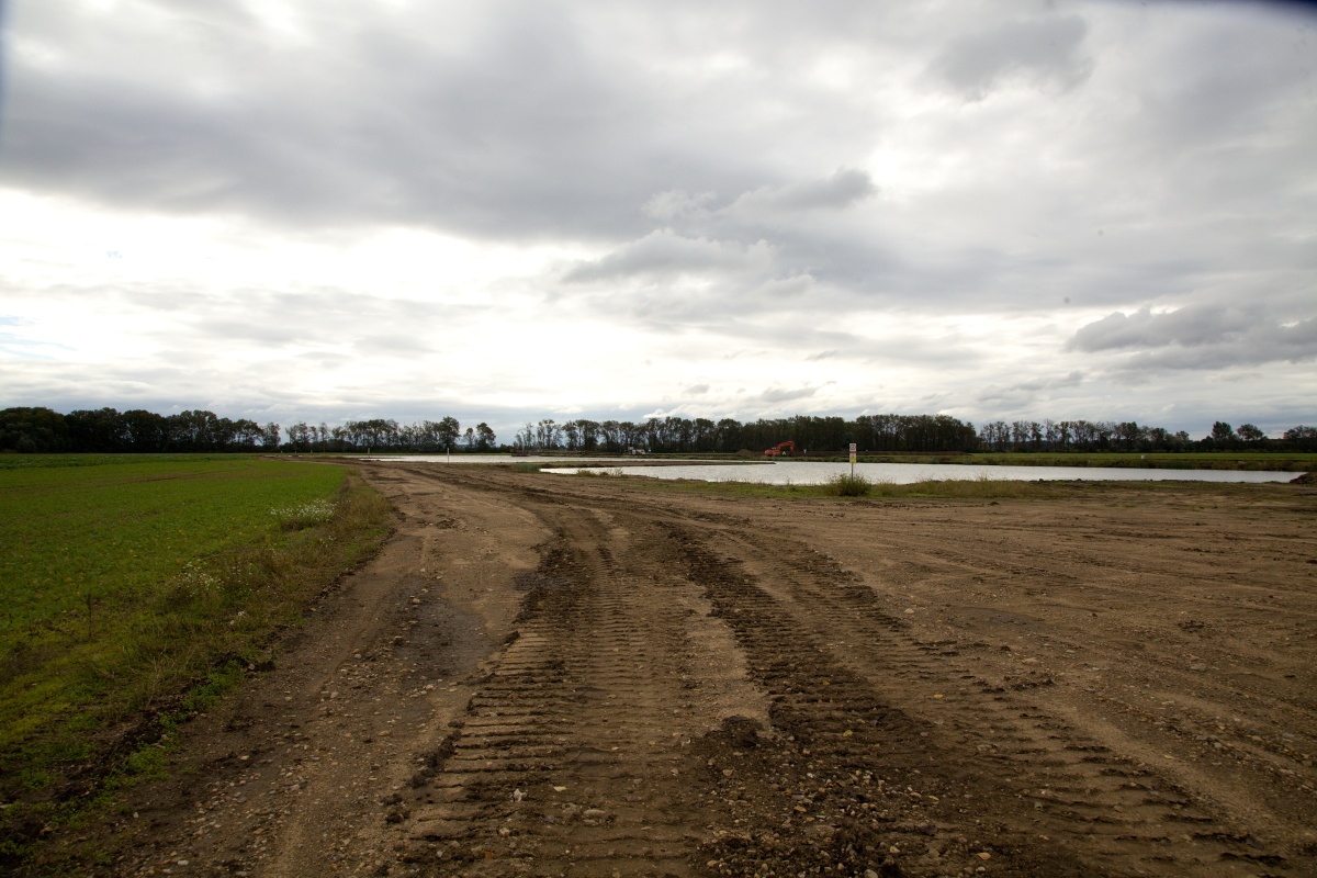
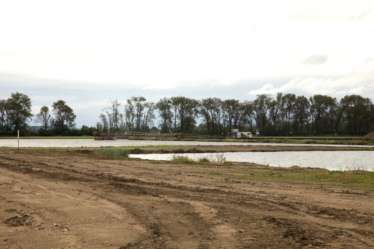
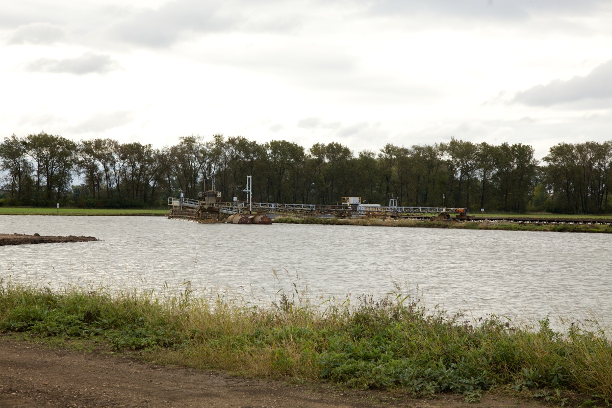
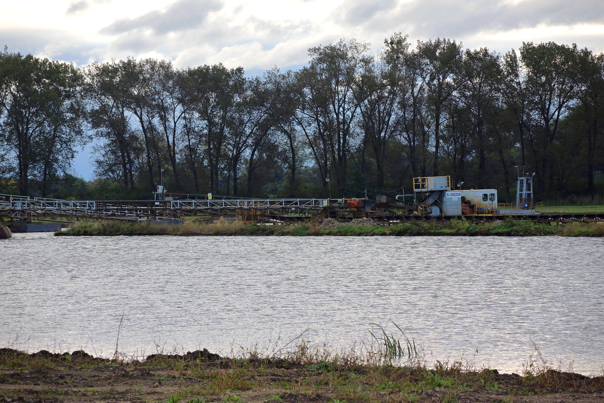
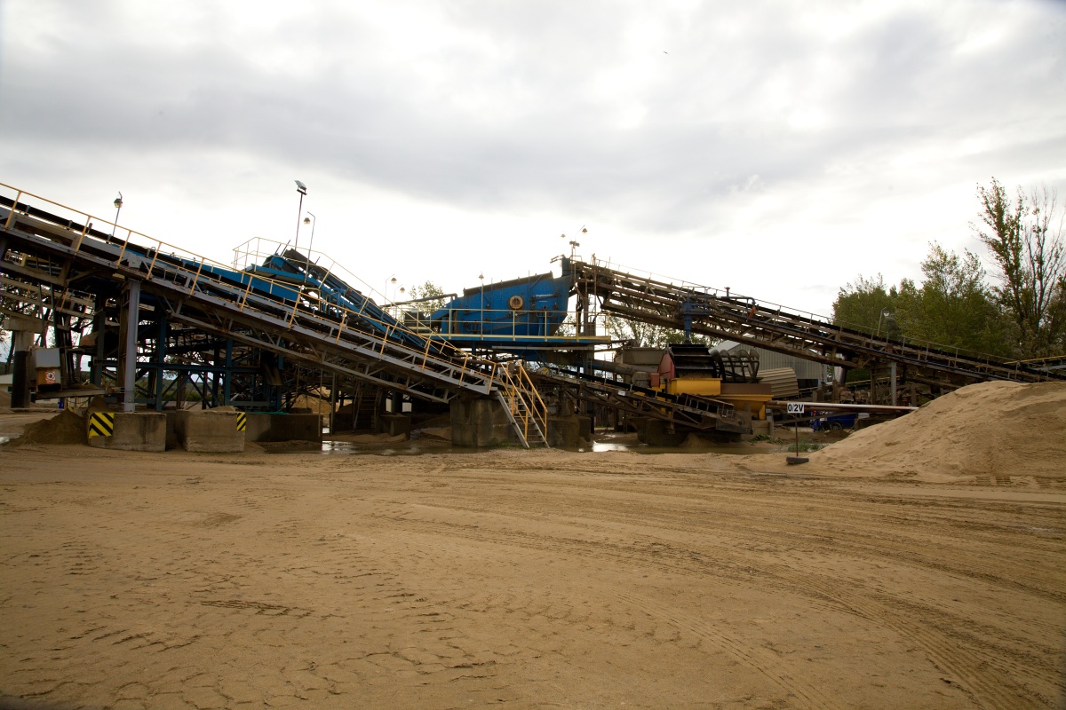
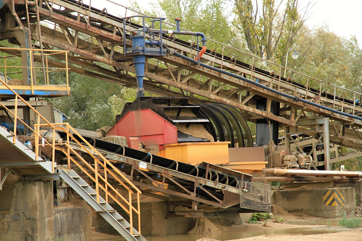
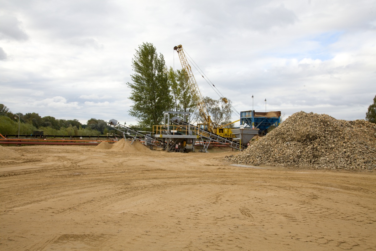
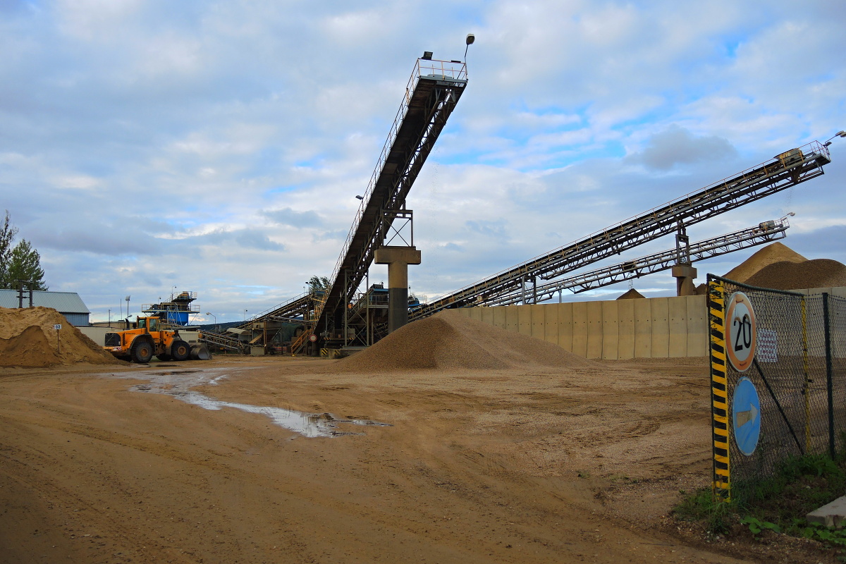
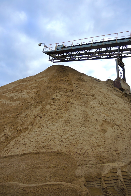
The sand quarry is situated approximately 2.5 km southwest from the village of Zaječí, between Nové Mlýny, Přítluky and Bulhary. The access road to the quarry leads from the road between Přítluky and road No. 421. The material is mined by bucket excavators from under the surface, from a 4-6 m thick wall, and is then transported by belt conveyors to the nearby processing plant, where it is washed and sorted into different grain-size fractions.